| P number: | P214772 |
|---|---|
| Old photograph number: | C00176 |
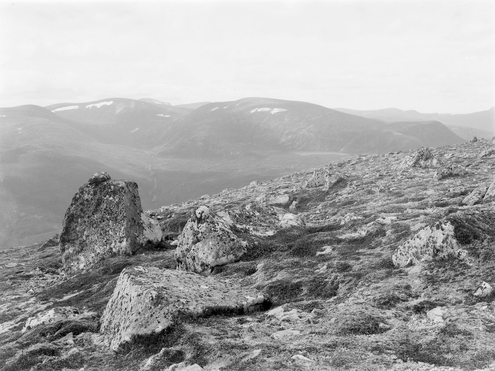
| Caption: | Summit of Meall a' Ghrianain, 4.0 km. NNW of Strath Rannoch, 16.0 km. N. of Garve. |
| Description: | Summit of Meall a' Ghrianain, 4.0 km. NNW of Strath Rannoch, 16.0 km. N. of Garve. Augen-gneiss blocks weathered out of Old Red Sandstone conglomerate. |
| Date taken: | Sun Jan 01 00:00:00 GMT 1905 |
| Photographer: | Lunn, R. |
| Copyright statement: | Crown |
| X longitude/easting: | 236600 |
| Y latitude/northing: | 877600 |
| Coordinate reference system, ESPG code: | 27700 (OSGB 1936 / British National Grid) |
| Orientation: | Landscape |
| Size: | 251.01 KB; 1000 x 750 pixels; 85 x 64 mm (print at 300 DPI); 265 x 198 mm (screen at 96 DPI); |
| Average Rating: | Not yet rated |
| Categories: | Unsorted Images, Geoscience subjects/ Stratigraphical |
Loading...
Loading...
Reviews
There is currently no feedback