| P number: | P214752 |
|---|---|
| Old photograph number: | C00155 |
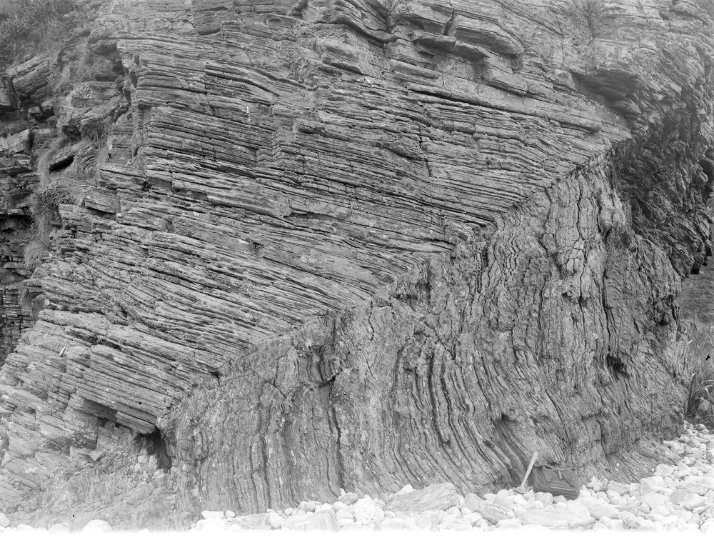
| Caption: | Shore 1.6 km. S. of Sandaig, about 8.0 km. SSW of Glenelg. |
| Description: | Shore 1.6 km. S. of Sandaig, about 8.0 km. SSW of Glenelg. Near views of fold referred to in No. C154. |
| Date taken: | Sun Jan 01 00:00:00 GMT 1905 |
| Photographer: | Lunn, R. |
| Copyright statement: | Crown |
| X longitude/easting: | 177500 |
| Y latitude/northing: | 812600 |
| Coordinate reference system, ESPG code: | 27700 (OSGB 1936 / British National Grid) |
| Orientation: | Landscape |
| Size: | 365.23 KB; 1000 x 756 pixels; 85 x 64 mm (print at 300 DPI); 265 x 200 mm (screen at 96 DPI); |
| Average Rating: | Not yet rated |
| Categories: | Unsorted Images, Geoscience subjects/ Structural features/ Folding |
Loading...
Loading...
Reviews
There is currently no feedback