| P number: | P214721 |
|---|---|
| Old photograph number: | C00124 |
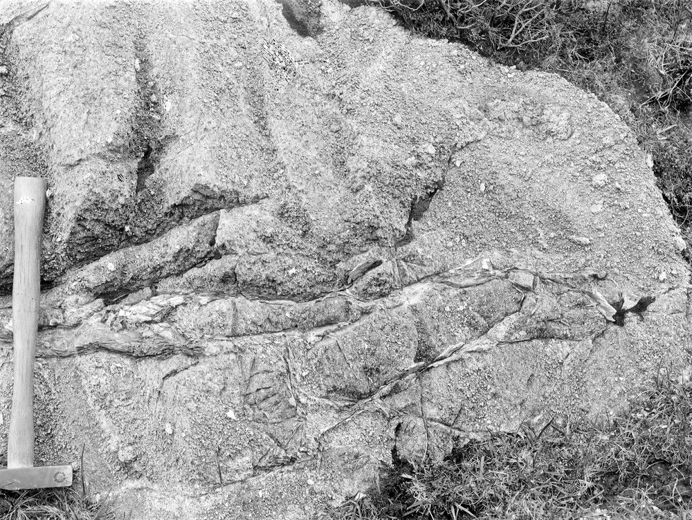
| Caption: | Allt Eassan Mhic Gorraidh, 2.0 km. N. of Beolary, 4.8 km. NE of Glenelg. |
| Description: | Allt Eassan Mhic Gorraidh, 2.0 km. N. of Beolary, 4.8 km. NE of Glenelg. Weathered surface of marble with projecting spots of diopside and other silicates. Various thin veins representing lines of movement are filled with fibrous tremolite (asbestos). |
| Date taken: | Sun Jan 01 00:00:00 GMT 1905 |
| Photographer: | Lunn, R. |
| Copyright statement: | Crown |
| X longitude/easting: | 185400 |
| Y latitude/northing: | 822200 |
| Coordinate reference system, ESPG code: | 27700 (OSGB 1936 / British National Grid) |
| Orientation: | Landscape |
| Size: | 439.41 KB; 1000 x 752 pixels; 85 x 64 mm (print at 300 DPI); 265 x 199 mm (screen at 96 DPI); |
| Average Rating: | Not yet rated |
| Categories: | Unsorted Images, Geoscience subjects/ Stratigraphical |
Loading...
Loading...
Reviews
There is currently no feedback