| P number: | P001004 |
|---|---|
| Old photograph number: | D03173 |
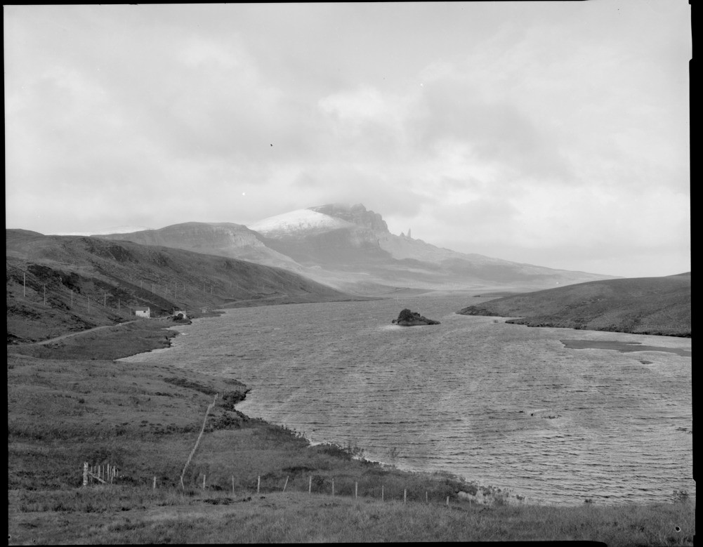
| Caption: | The Storr from the south part of the Trotternish lava-scarp. Skye. |
| Description: | The Bearreraig River, the outlet for Loch Leathan and Loch Fada, was dammed in the mid 1950's and the level of the two lochs raised. Landslipped lavas and Jurassic sediments form the ground to the right of the escarpment. In the foreground a glacially eroded hollow in Jurassic sediments is occupied by the two lochs Fada and Leathan, which supply water for the Bearreraig Hydro-electric Station. |
| Date taken: | Tue Jan 01 00:00:00 GMT 1980 |
| Photographer: | Bain, T.S. |
| Copyright statement: | NERC |
| Acknowledgment: | This image was digitized with grant-in-aid from SCRAN the Scottish Cultural Resources Access Network |
| X longitude/easting: | 149900 |
| Y latitude/northing: | 851400 |
| Coordinate reference system, ESPG code: | 27700 (OSGB 1936 / British National Grid) |
| Orientation: | Landscape |
| Size: | 145.69 KB; 1001 x 779 pixels; 85 x 66 mm (print at 300 DPI); 265 x 206 mm (screen at 96 DPI); |
| Average Rating: | Not yet rated |
| Categories: | Best of BGS Images/ Landscapes |
Loading...
Loading...
Reviews
There is currently no feedback