| P number: | P000999 |
|---|---|
| Old photograph number: | D03146 |
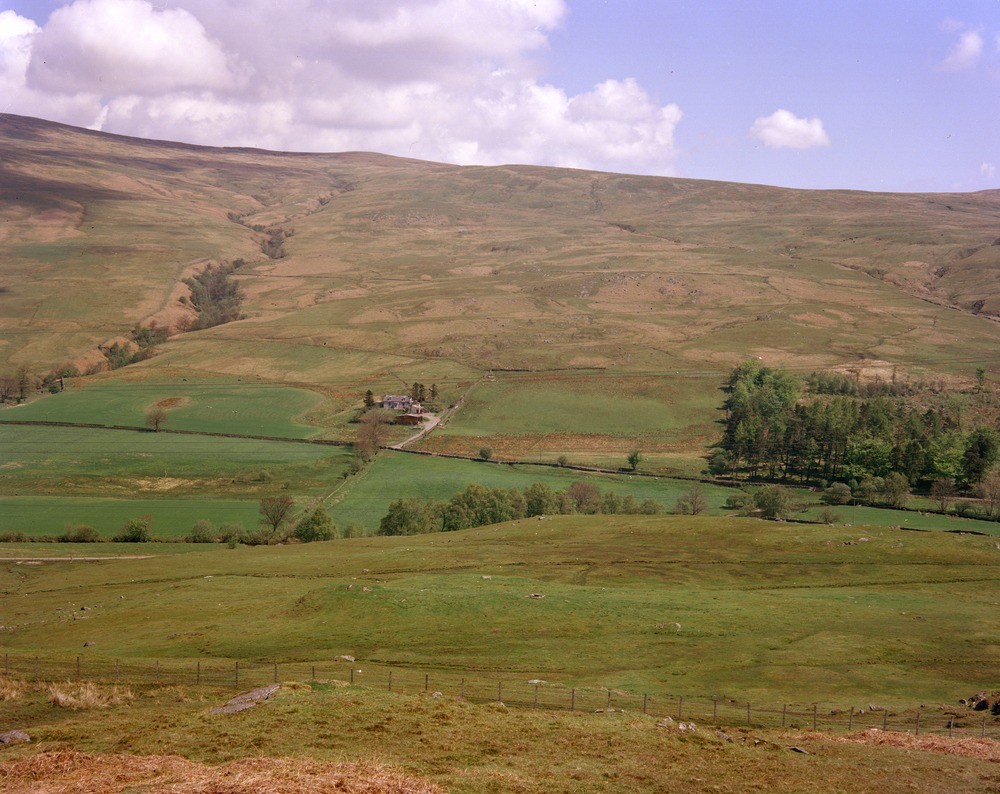
| Caption: | General view Glen Fruin, West Kilbride Farm, east side of Glen Fruin. Dumbartonshire. Dalradian Supergroup topography, alluvium occurs in the Fruin Water valley bottom and glacial till on the lower slopes. |
| Description: | General view Glen Fruin, West Kilbride Farm, east side of Glen Fruin. Dumbartonshire. Dalradian Supergroup topography, alluvium occurs in the Fruin Water valley bottom and glacial till on the lower slopes. The relatively craggy hillside above West Kilbride Farm is underlain by the Dalradian Bullrock Greywacke and contrasts with the smoother topography at the left margin of the view which is underlain by slates and limestones of the Dunoon Phyllites/Luss Slates. |
| Date taken: | Tue May 01 00:00:00 BST 1979 |
| Photographer: | Bain, T.S. |
| Copyright statement: | NERC |
| Acknowledgment: | This image was digitized with grant-in-aid from SCRAN the Scottish Cultural Resources Access Network |
| X longitude/easting: | 231300 |
| Y latitude/northing: | 687350 |
| Coordinate reference system, ESPG code: | 27700 (OSGB 1936 / British National Grid) |
| Orientation: | Landscape |
| Size: | 242.22 KB; 1000 x 794 pixels; 85 x 67 mm (print at 300 DPI); 265 x 210 mm (screen at 96 DPI); |
| Average Rating: | Not yet rated |
| Categories: | Unsorted Images |
Loading...
Loading...
Reviews
There is currently no feedback