| P number: | P214575 |
|---|---|
| Old photograph number: | B00840 |
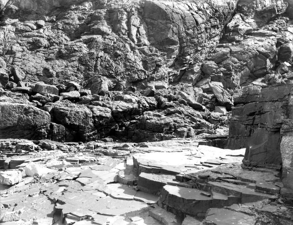
| Caption: | Red Point, 3.219 km. W. of Reay. |
| Description: | Red Point, 3.219 km. W. of Reay. Local base of flagstones on gneiss and granite. Near view of (III) in No. B839 showing the finely laminated flags abutting against the wall of granite and gneiss. |
| Date taken: | Mon Jan 01 00:00:00 GMT 1912 |
| Photographer: | Lunn, R. |
| Copyright statement: | Crown |
| X longitude/easting: | 293100 |
| Y latitude/northing: | 965900 |
| Coordinate reference system, ESPG code: | 27700 (OSGB 1936 / British National Grid) |
| Orientation: | Landscape |
| Size: | 358.31 KB; 1000 x 770 pixels; 85 x 65 mm (print at 300 DPI); 265 x 204 mm (screen at 96 DPI); |
| Average Rating: | Not yet rated |
| Categories: | Unsorted Images, Geoscience subjects/ Stratigraphical |
Loading...
Loading...
Reviews
There is currently no feedback