| P number: | P000982 |
|---|---|
| Old photograph number: | D03010 |
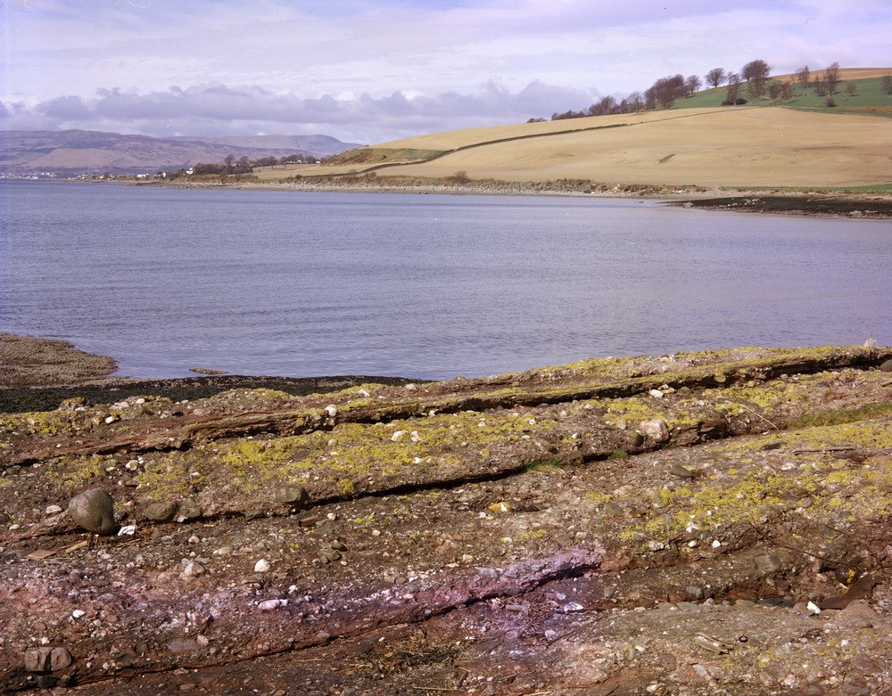
| Caption: | Rosneath Point, 640 m. from Green Island. Dumbartonshire. View across Meikleross Bay, Rosneath, to Portkil in middle distance; '50 ft.' raised beach accentuated by unploughed 'cliff' in middle distance. Part of Cowal in far distance. |
| Description: | Rosneath Point, 640 m. from Green Island. Dumbartonshire. View across Meikleross Bay, Rosneath, to Portkil in middle distance; '50 ft.' raised beach accentuated by unploughed 'cliff' in middle distance. Part of Cowal in far distance. The raised beach is Flandrian in age and occurs prominently in the area as a broad rock-cut bench, at a height ranging from 7 to 12 metres O.D. Upper Old Red Sandstone conglomerates in foreground. |
| Date taken: | Tue Apr 01 00:00:00 BST 1980 |
| Photographer: | Bain, T.S. |
| Copyright statement: | NERC |
| Acknowledgment: | This image was digitized with grant-in-aid from SCRAN the Scottish Cultural Resources Access Network |
| X longitude/easting: | 227030 |
| Y latitude/northing: | 680610 |
| Coordinate reference system, ESPG code: | 27700 (OSGB 1936 / British National Grid) |
| Orientation: | Landscape |
| Size: | 331.75 KB; 1000 x 781 pixels; 85 x 66 mm (print at 300 DPI); 265 x 207 mm (screen at 96 DPI); |
| Average Rating: | Not yet rated |
| Categories: | Unsorted Images |
Loading...
Loading...
Reviews
There is currently no feedback