| P number: | P000975 |
|---|---|
| Old photograph number: | D02987 |
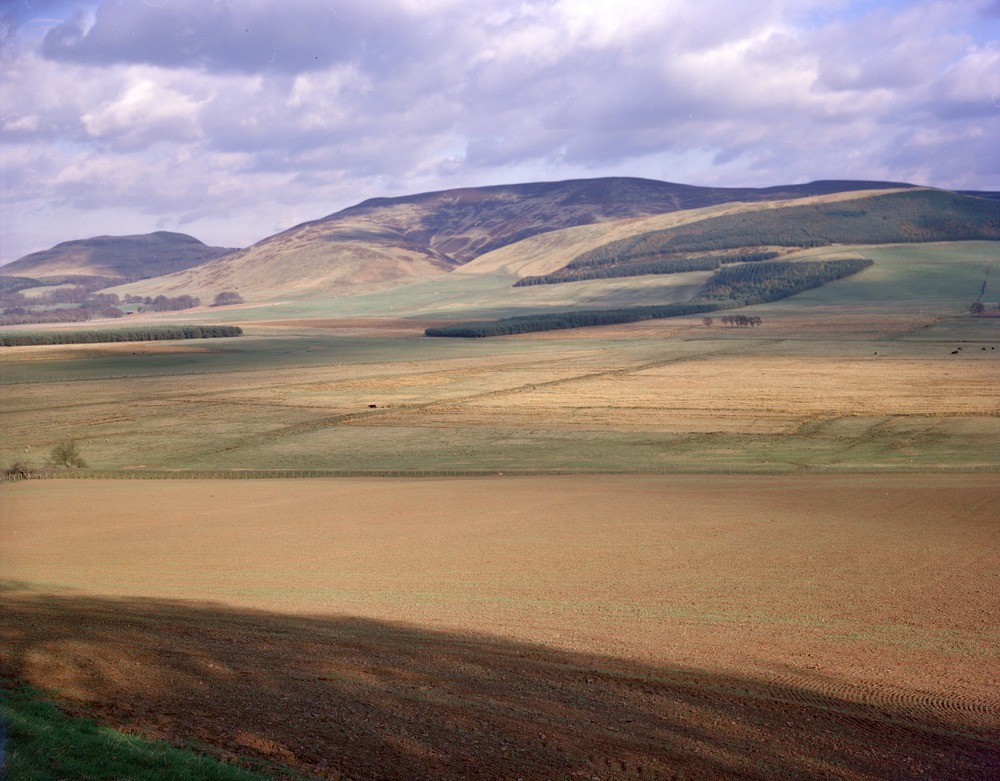
| Caption: | Valley of the South Medwin. Between Dunsyre and Weston, looking east-south-east. |
| Description: | Valley of the South Medwin. Between Dunsyre and Weston, looking east-south-east. In contrast to the topography of the Dolphinton Gap, downstream the valley floor of the South Medwin is flat and poorly drained. Alluvium and/or peat overlie fine-grained meltwater sediments thought to be of glaciolacustrine origin. Black Mount (516 m.) forms the background. |
| Date taken: | Tue Jan 01 00:00:00 GMT 1980 |
| Photographer: | Christie, A. |
| Copyright statement: | NERC |
| Acknowledgment: | This image was digitized with grant-in-aid from SCRAN the Scottish Cultural Resources Access Network |
| X longitude/easting: | 305300 |
| Y latitude/northing: | 647600 |
| Coordinate reference system, ESPG code: | 27700 (OSGB 1936 / British National Grid) |
| Orientation: | Landscape |
| Size: | 223.53 KB; 1000 x 781 pixels; 85 x 66 mm (print at 300 DPI); 265 x 207 mm (screen at 96 DPI); |
| Average Rating: | Not yet rated |
| Categories: | Unsorted Images |
Loading...
Loading...
Reviews
There is currently no feedback