| P number: | P214306 |
|---|---|
| Old photograph number: | B00404 |
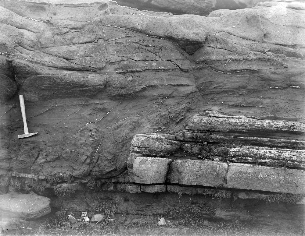
| Caption: | Shore, 1.609 km. N. of Kinghorn. |
| Description: | Shore, 1.609 km. N. of Kinghorn. Dolerite sill cutting across edges of sedimentary rocks of Lower Limestone Formation. |
| Date taken: | Tue Jan 01 00:00:00 GMT 1895 |
| Photographer: | Lunn, R. |
| Copyright statement: | Crown |
| X longitude/easting: | 328000 |
| Y latitude/northing: | 688400 |
| Coordinate reference system, ESPG code: | 27700 (OSGB 1936 / British National Grid) |
| Orientation: | Landscape |
| Size: | 323.52 KB; 1000 x 775 pixels; 85 x 66 mm (print at 300 DPI); 265 x 205 mm (screen at 96 DPI); |
| Average Rating: | Not yet rated |
| Categories: | Unsorted Images, Geoscience subjects/ Igneous features/ Sills |
Loading...
Loading...
Reviews
There is currently no feedback