| P number: | P214116 |
|---|---|
| Old photograph number: | B00162 |
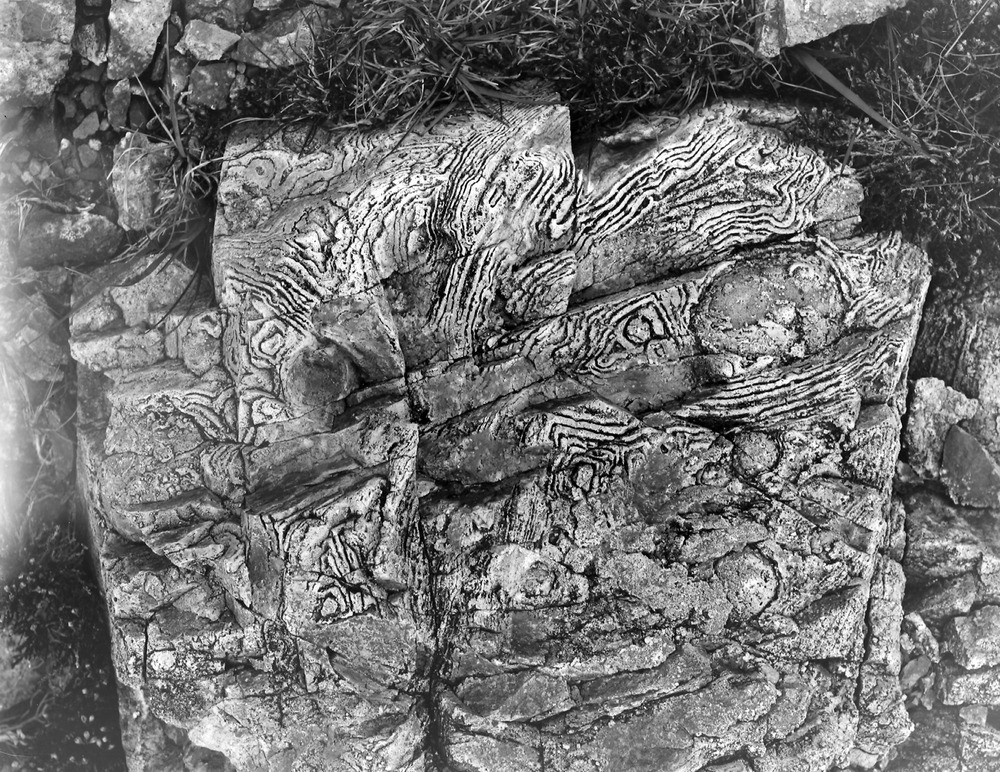
| Caption: | Between Loch Coruisk and Glen Sligachan, Cuillin Hills. |
| Description: | Between Loch Coruisk and Glen Sligachan, Cuillin Hills. Weathered surface of acid dyke in the gabbro, showing tortuous flow-structures, Druim an Eidhne. |
| Date taken: | Sun Jan 01 00:00:00 GMT 1893 |
| Photographer: | Lunn, R. |
| Copyright statement: | Crown |
| X longitude/easting: | 145000 |
| Y latitude/northing: | 825000 |
| Coordinate reference system, ESPG code: | 27700 (OSGB 1936 / British National Grid) |
| Orientation: | Landscape |
| Size: | 415.00 KB; 1000 x 772 pixels; 85 x 65 mm (print at 300 DPI); 265 x 204 mm (screen at 96 DPI); |
| Average Rating: | Not yet rated |
| Categories: | Unsorted Images, Geoscience subjects/ Igneous features/ Dykes, Geoscience subjects/ Igneous features/ Flow banded, nodular, spherulitic and porphyritic structures |
Loading...
Loading...
Reviews
There is currently no feedback