| P number: | P000947 |
|---|---|
| Old photograph number: | D02774 |
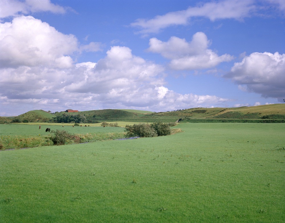
| Caption: | Douglasmouth Bridge. Lanarkshire. Looking east. Profile of an esker near Sandilands. Crookboat Farm is to the left. The foreground is occupied by the flood plain of the Douglas Water. |
| Description: | Douglasmouth Bridge. Lanarkshire. Looking east. Profile of an esker near Sandilands. Crookboat Farm is to the left. The foreground is occupied by the flood plain of the Douglas Water. The esker is a long sinuous, narrow crested ridge that consists of sands and gravels laid down by glacial meltwater. Eskers formed at the retreating edge of a glacier or in a subglacial or englacial tunnel. Note the very flat flood plain caused by the meandering of the Douglas Water. |
| Date taken: | Mon Jan 01 00:00:00 GMT 1979 |
| Photographer: | Christie, A. |
| Copyright statement: | NERC |
| Acknowledgment: | This image was digitized with grant-in-aid from SCRAN the Scottish Cultural Resources Access Network |
| X longitude/easting: | 289000 |
| Y latitude/northing: | 638800 |
| Coordinate reference system, ESPG code: | 27700 (OSGB 1936 / British National Grid) |
| Orientation: | Landscape |
| Size: | 214.75 KB; 1000 x 785 pixels; 85 x 66 mm (print at 300 DPI); 265 x 208 mm (screen at 96 DPI); |
| Average Rating: | Not yet rated |
| Categories: | Unsorted Images |
Loading...
Loading...
Reviews
There is currently no feedback