| P number: | P214079 |
|---|---|
| Old photograph number: | B00105 |
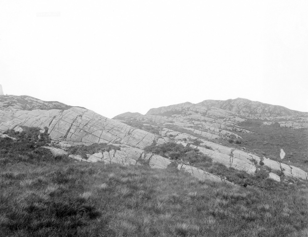
| Caption: | 0.805 km. NE of Meall an Spardain, Poolewe. |
| Description: | 0.805 km. NE of Meall an Spardain, Poolewe. Rod-like or mullion structure in Lewisian gneiss. Poolewe anticline, produced by movements later than the dykes. |
| Date taken: | Mon Jan 01 00:00:00 GMT 1894 |
| Photographer: | Lunn, R. |
| Copyright statement: | Crown |
| X longitude/easting: | 186000 |
| Y latitude/northing: | 876500 |
| Coordinate reference system, ESPG code: | 27700 (OSGB 1936 / British National Grid) |
| Orientation: | Landscape |
| Size: | 195.62 KB; 1000 x 771 pixels; 85 x 65 mm (print at 300 DPI); 265 x 204 mm (screen at 96 DPI); |
| Average Rating: | Not yet rated |
| Categories: | Unsorted Images, Geoscience subjects/ General views/ Metamorphic rock country |
Loading...
Loading...
Reviews
There is currently no feedback