| P number: | P000946 |
|---|---|
| Old photograph number: | D02773 |
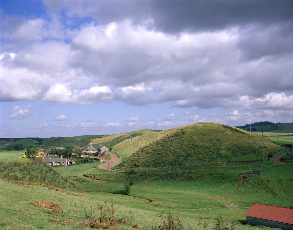
| Caption: | Douglas Water, near Sandilands. Lanarkshire. Looking north-east. Sandilands esker. Cross-profile of the north-east trending esker. |
| Description: | Douglas Water, near Sandilands. Lanarkshire. Looking north-east. Sandilands esker. Cross-profile of the north-east trending esker. The esker is a long sinuous, narrow crested ridge that consists of sands and gravels laid down by glacial meltwater. Eskers formed at the retreating edge of a glacier or in a subglacial or englacial tunnel. Crookboat Farm is in the distance, Shields Burn in the foreground. |
| Date taken: | Mon Jan 01 00:00:00 GMT 1979 |
| Photographer: | Christie, A. |
| Copyright statement: | NERC |
| Acknowledgment: | This image was digitized with grant-in-aid from SCRAN the Scottish Cultural Resources Access Network |
| X longitude/easting: | 289000 |
| Y latitude/northing: | 638400 |
| Coordinate reference system, ESPG code: | 27700 (OSGB 1936 / British National Grid) |
| Orientation: | Landscape |
| Size: | 209.59 KB; 1000 x 785 pixels; 85 x 66 mm (print at 300 DPI); 265 x 208 mm (screen at 96 DPI); |
| Average Rating: | Not yet rated |
| Categories: | Unsorted Images |
Loading...
Loading...
Reviews
There is currently no feedback