| P number: | P220383 |
|---|---|
| Old photograph number: | D04327 |
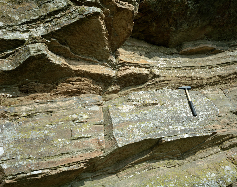
| Caption: | Quarry Hill, 2 km. SSW of Rhynie. |
| Description: | Quarry Hill, 2 km. SSW of Rhynie. Quarry Hill Sandstone Formation. Sandstone grading upwards into finely-bedded, slightly micaceous siltstone, graded units are 1-2 m. thick. Ripple marking well developed on undersides of bedding planes. |
| Date taken: | Fri Sep 01 00:00:00 BST 1989 |
| Photographer: | MacTaggart, F.I. |
| Copyright statement: | NERC |
| X longitude/easting: | 348750 |
| Y latitude/northing: | 825350 |
| Coordinate reference system, ESPG code: | 27700 (OSGB 1936 / British National Grid) |
| Orientation: | Landscape |
| Size: | 416.03 KB; 999 x 788 pixels; 85 x 67 mm (print at 300 DPI); 264 x 208 mm (screen at 96 DPI); |
| Average Rating: | Not yet rated |
| Categories: | Awaiting Images |
Loading...
Loading...
Reviews
There is currently no feedback