| P number: | P213216 |
|---|---|
| Old photograph number: | A14299 |
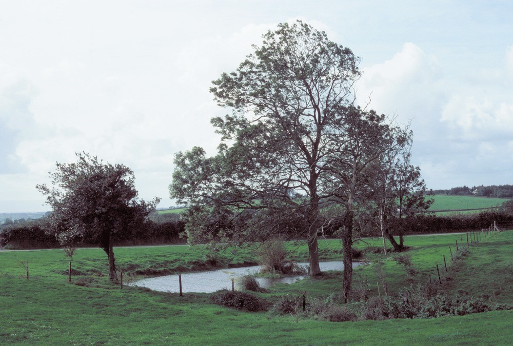
| Caption: | 400 m. E. of Maerdy Newydd Farm. |
| Description: | 400 m. E. of Maerdy Newydd Farm. Kettle hole in glacial drift. A small depression resulting from the meltout of buried ice has produced this kettle hole in boulder clay. |
| Date taken: | Sat Jan 01 00:00:00 GMT 1983 |
| Photographer: | Jeffery, C.J. |
| Copyright statement: | NERC |
| X longitude/easting: | 305120 |
| Y latitude/northing: | 174700 |
| Coordinate reference system, ESPG code: | 27700 (OSGB 1936 / British National Grid) |
| Orientation: | Landscape |
| Size: | 212.17 KB; 1000 x 675 pixels; 85 x 57 mm (print at 300 DPI); 265 x 179 mm (screen at 96 DPI); |
| Average Rating: | Not yet rated |
| Categories: | Unsorted Images, Geoscience subjects/ Landforms, glaciation/ Kettle-holes |
Loading...
Loading...
Reviews
There is currently no feedback