| P number: | P000868 |
|---|---|
| Old photograph number: | D02495 |
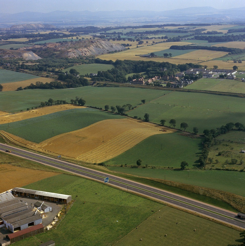
| Caption: | Oblique aerial photograph 0.5 km. north-west of Philpstoun, Lothian Region. A boulder clay drumlin. The long axis of the drumlin, in the fields just beyond the motorway in the foreground, trends west-north-west - east-south-east. |
| Description: | Oblique aerial photograph 0.5 km. north-west of Philpstoun, Lothian Region. A boulder clay drumlin. The long axis of the drumlin, in the fields just beyond the motorway in the foreground, trends west-north-west - east-south-east. Philpstoun is in the middle distance on the right. In the middle distance on the left there are several large tips of spent oil-shale, characteristic features of the areas where oil-shale was formerly mined and processed. |
| Date taken: | Sat Jan 01 00:00:00 GMT 1977 |
| Photographer: | Christie, A. |
| Copyright statement: | NERC |
| Acknowledgment: | This image was digitized with grant-in-aid from SCRAN the Scottish Cultural Resources Access Network |
| X longitude/easting: | 304400 |
| Y latitude/northing: | 677800 |
| Coordinate reference system, ESPG code: | 27700 (OSGB 1936 / British National Grid) |
| Orientation: | Portrait |
| Size: | 288.84 KB; 994 x 1000 pixels; 84 x 85 mm (print at 300 DPI); 263 x 265 mm (screen at 96 DPI); |
| Average Rating: | Not yet rated |
| Categories: | Unsorted Images |
Loading...
Loading...
Reviews
There is currently no feedback