| P number: | P212966 |
|---|---|
| Old photograph number: | A13989 |
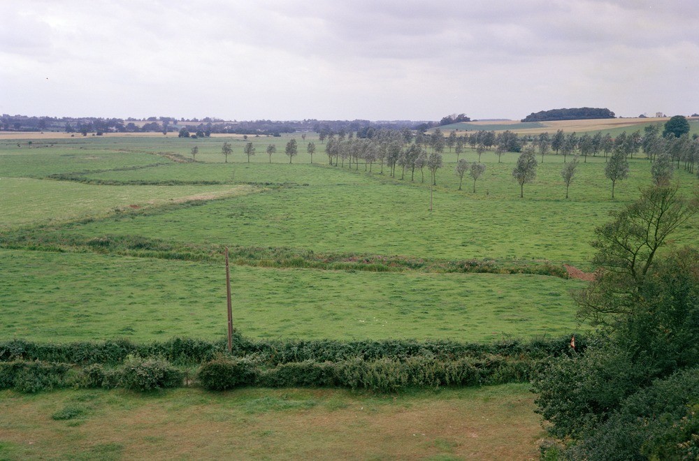
| Caption: | Mendham Marshes, approx 1 km. SW of Mendham. |
| Description: | Mendham Marshes, approx 1 km. SW of Mendham. Mendham Marshes. The Waveney Valley in this area is unusually wide (the flood plain reaches a maximum width of 1.5 km.) and the flood plain is composed of peat and alluvium through which islands of sand and gravel of the first river terrace protrude. The extreme width of the valley here is probably due to the confluence of several minor tributaries with the main valley. |
| Date taken: | Tue Jan 01 00:00:00 GMT 1980 |
| Photographer: | Evans, H.J. |
| Copyright statement: | NERC |
| X longitude/easting: | 626700 |
| Y latitude/northing: | 282000 |
| Coordinate reference system, ESPG code: | 27700 (OSGB 1936 / British National Grid) |
| Orientation: | Landscape |
| Size: | 204.17 KB; 1000 x 660 pixels; 85 x 56 mm (print at 300 DPI); 265 x 175 mm (screen at 96 DPI); |
| Average Rating: | Not yet rated |
| Categories: | Unsorted Images, Geoscience subjects/ Landforms, river/ Flood-plains and alluvial flats |
Loading...
Loading...
Reviews
There is currently no feedback