| P number: | P211796 |
|---|---|
| Old photograph number: | A12278 |
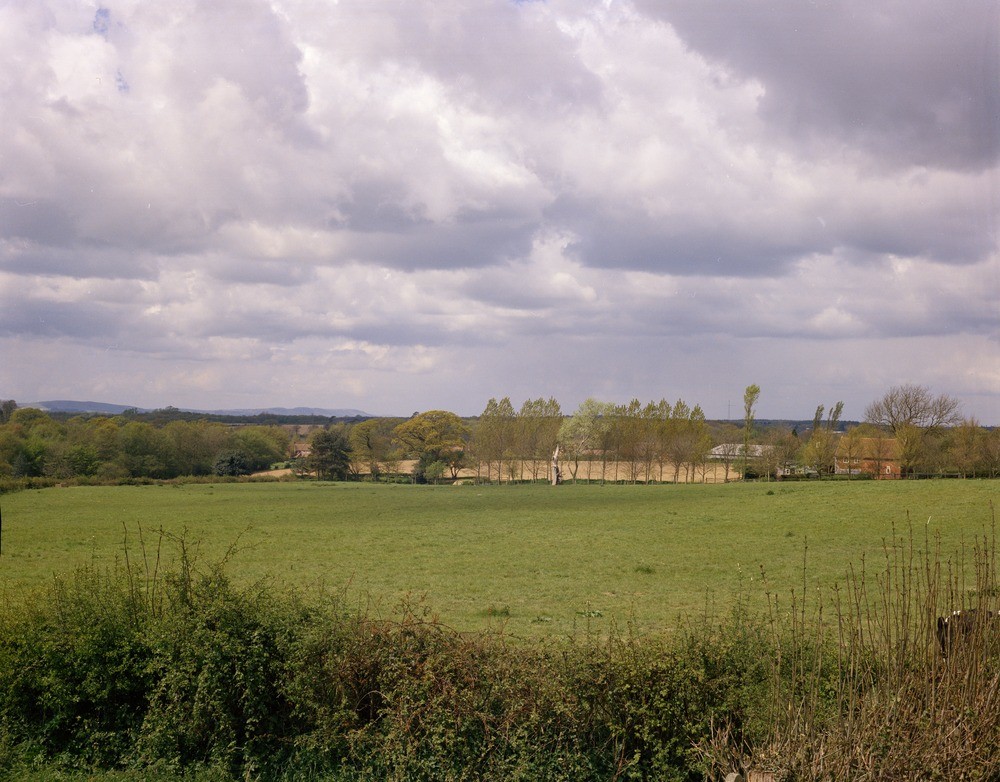
| Caption: | Thunder's Hill, near Muddles Green. Looking SW. |
| Description: | Thunder's Hill, near Muddles Green. Looking SW. Dip-slope of the Tunbridge Wells Sand. View across the dip-slope of the Tunbridge Wells Sand to the Weald Clay outcrop (wooded country, left middle distance) and the Chalk escarpment (far distance). |
| Date taken: | Tue Jan 01 00:00:00 GMT 1974 |
| Photographer: | Jeffery, C.J. |
| Copyright statement: | NERC |
| X longitude/easting: | 554800 |
| Y latitude/northing: | 113300 |
| Coordinate reference system, ESPG code: | 27700 (OSGB 1936 / British National Grid) |
| Orientation: | Landscape |
| Size: | 218.83 KB; 1000 x 782 pixels; 85 x 66 mm (print at 300 DPI); 265 x 207 mm (screen at 96 DPI); |
| Average Rating: | Not yet rated |
| Categories: | Unsorted Images, Geoscience subjects/ General views |
Loading...
Loading...
Reviews
There is currently no feedback