| P number: | P211391 |
|---|---|
| Old photograph number: | A11811 |
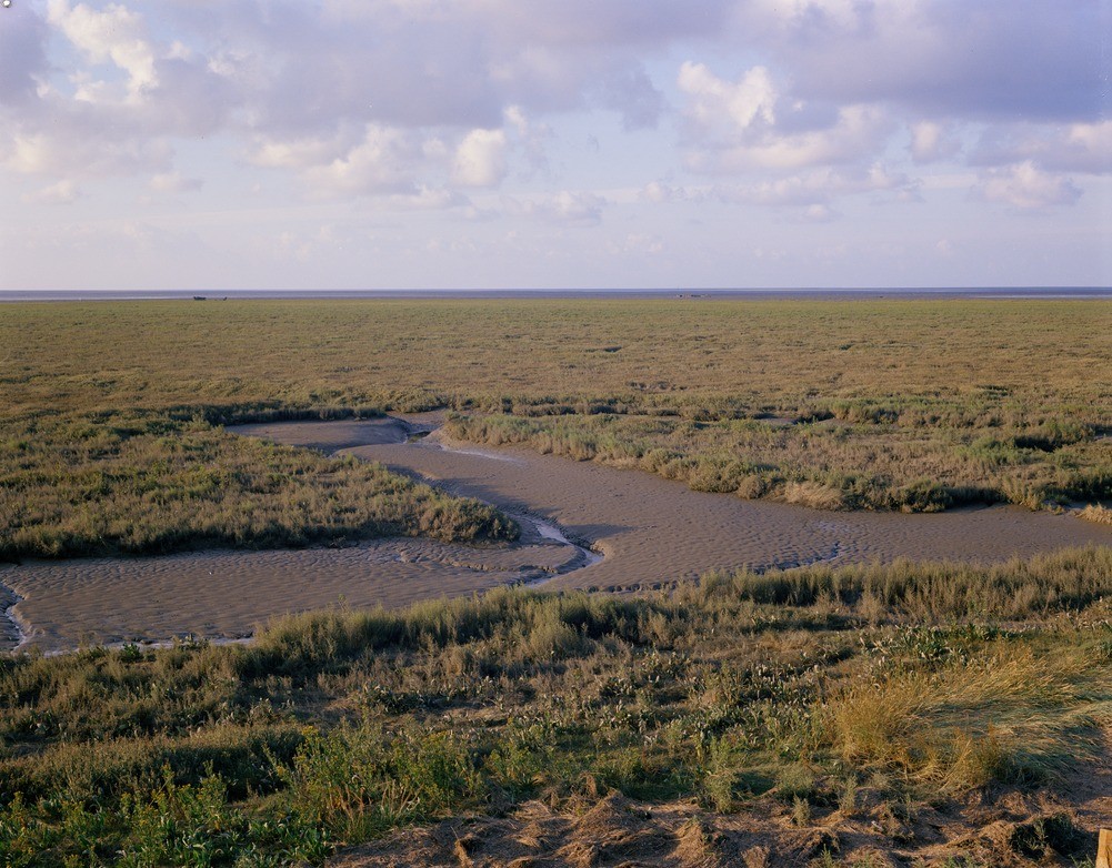
| Caption: | Terrington Marsh. Looking N. |
| Description: | Terrington Marsh. Looking N. Present day salt marsh. Looking seawards from the top of the most recent sea bank, built in 1954, across the present day stable salt marsh. The two shipwrecks, about ? mile distant, approximately mark the edge of the stable salt marsh. |
| Date taken: | Fri Jan 01 00:00:00 GMT 1971 |
| Photographer: | Pulsford, J.M. |
| Copyright statement: | NERC |
| X longitude/easting: | 554500 |
| Y latitude/northing: | 323500 |
| Coordinate reference system, ESPG code: | 27700 (OSGB 1936 / British National Grid) |
| Orientation: | Landscape |
| Size: | 267.55 KB; 1001 x 782 pixels; 85 x 66 mm (print at 300 DPI); 265 x 207 mm (screen at 96 DPI); |
| Average Rating: | Not yet rated |
| Categories: | Unsorted Images, Geoscience subjects/ Landforms, river/ Flood-plains and alluvial flats, Geoscience subjects/ Landforms, marine/ Salt marsh |
Loading...
Loading...
Reviews
There is currently no feedback