| P number: | P000682 |
|---|---|
| Old photograph number: | D01829 |
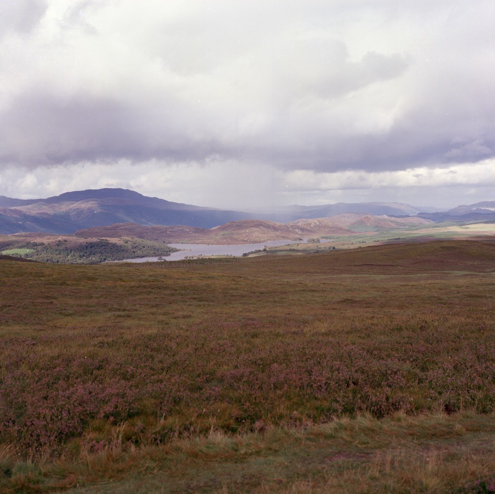
| Caption: | Looking north from General Wade's Road (A862), 7.6 km. east-north-east of Fort Augustus to Loch Knockie. Inverness-shire. Hills of Moine and Old Red Sandstone conglomerate. |
| Description: | Looking north from General Wade's Road (A862), 7.6 km. east-north-east of Fort Augustus to Loch Knockie. Inverness-shire. Hills of Moine and Old Red Sandstone conglomerate. The foreground is the Glen Buck Pebbly Psammite formation of uncertain age. In the vicinity of Loch Knockie are the granite and granodiorite of the Foyers Igneous Complex. Meall Fuar-mhonaidh (Old Red Sandstone conglomerate) in far distance left is on the other side of the Great Glen Fault Zone. |
| Date taken: | Thu Jan 01 00:00:00 GMT 1976 |
| Photographer: | Christie, A. |
| Copyright statement: | NERC |
| Acknowledgment: | This image was digitized with grant-in-aid from SCRAN the Scottish Cultural Resources Access Network |
| X longitude/easting: | 245300 |
| Y latitude/northing: | 811000 |
| Coordinate reference system, ESPG code: | 27700 (OSGB 1936 / British National Grid) |
| Orientation: | Landscape |
| Size: | 212.78 KB; 1000 x 998 pixels; 85 x 84 mm (print at 300 DPI); 265 x 264 mm (screen at 96 DPI); |
| Average Rating: | Not yet rated |
| Categories: | Unsorted Images |
Loading...
Loading...
Reviews
There is currently no feedback