| P number: | P210650 |
|---|---|
| Old photograph number: | A10814 |
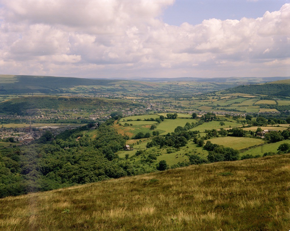
| Caption: | Pontardwe from Mynydd Gellionnen. Looking SE. |
| Description: | Pontardwe from Mynydd Gellionnen. Looking SE. Typical Pennant Measures dip and scarp topography. The spire (left) is St. Peter's Church, Pontardwe, the village in the middle of the picture is Alltwen. The broad low valley in the middle distance is floored by the drift-covered shales of the Upper Coal Measures of the Neath-Duffyn Trough. |
| Date taken: | Fri Jul 01 00:00:00 BST 1966 |
| Photographer: | Friend, C.A.F. |
| Copyright statement: | NERC |
| X longitude/easting: | 270500 |
| Y latitude/northing: | 204500 |
| Coordinate reference system, ESPG code: | 27700 (OSGB 1936 / British National Grid) |
| Orientation: | Landscape |
| Size: | 291.87 KB; 1000 x 797 pixels; 85 x 67 mm (print at 300 DPI); 265 x 211 mm (screen at 96 DPI); |
| Average Rating: | Not yet rated |
| Categories: | Unsorted Images, Geoscience subjects/ General views |
Loading...
Loading...
Reviews
There is currently no feedback