| P number: | P000579 |
|---|---|
| Old photograph number: | D00775 |
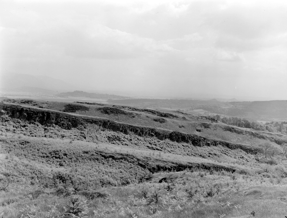
| Caption: | Looking eastwards from Craigbrock Hill towards Stirling and the Ochil Hills. |
| Description: | The sill is intruded at horizons within the Lower Limestone Group and Limestone Coal Group. In the background on the left of the photograph lie the Lower Old Red Sandstone lavas of the Ochil Hills, cut off sharply to the south by the Ochil Fault. Bings from pits working Limestone Coal Group coals below the deep drift deposits of the Carse of Stirling may be seen behind the sill escarpment. The prominent trap features in the foreground are formed by Calciferous Sandstone Measures lavas. In the middle distance are the wooded crags of the Stirling quartz-dolerite sill which steps upwards geodetically from Gillies Hill in the south to King's Park, to Stirling Castle and to Abbey Craig in the north. |
| Date taken: | Mon Jan 01 00:00:00 GMT 1962 |
| Photographer: | Fisher, W.D. |
| Copyright statement: | Crown |
| Acknowledgment: | This image was digitized with grant-in-aid from SCRAN the Scottish Cultural Resources Access Network |
| X longitude/easting: | 271500 |
| Y latitude/northing: | 692500 |
| Coordinate reference system, ESPG code: | 27700 (OSGB 1936 / British National Grid) |
| Orientation: | Landscape |
| Size: | 196.96 KB; 1000 x 761 pixels; 85 x 64 mm (print at 300 DPI); 265 x 201 mm (screen at 96 DPI); |
| Average Rating: | Not yet rated |
| Categories: | Unsorted Images |
Loading...
Loading...
Reviews
There is currently no feedback