| P number: | P000577 |
|---|---|
| Old photograph number: | D00772 |
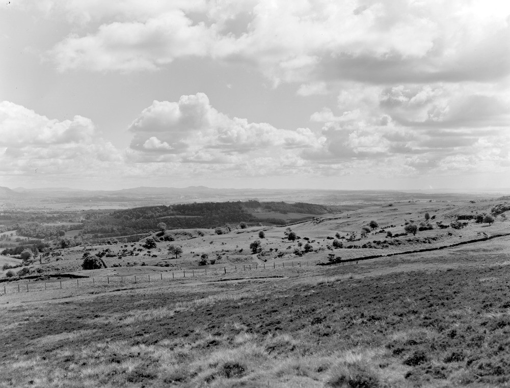
| Caption: | View from eastern slopes of Touch Hills. Stirlingshire. Looking east. The Touch Hills are composed of basic volcanic rocks, typically basalts, mugearites and trachybasalts. |
| Description: | View from eastern slopes of Touch Hills. Stirlingshire. Looking east. The Touch Hills are composed of basic volcanic rocks, typically basalts, mugearites and trachybasalts. Calciferous Sandstone Measures lavas form the trap features in middle distance. The escarpment of Gillies Hill formed by the Stirling quartz-dolerite sill lies in shadow. In the background lies the low ground of the Clackmannan Syncline. The Touch, Fintry and Gargunnock Hills are formed of a lava pile built up to a thickness of 300-400 m. and formed during a major episode of sub-aerial volcanism. They thin northwards and eastwards. |
| Date taken: | Mon Jan 01 00:00:00 GMT 1962 |
| Photographer: | Fisher, W.D. |
| Copyright statement: | Crown |
| Acknowledgment: | This image was digitized with grant-in-aid from SCRAN the Scottish Cultural Resources Access Network |
| X longitude/easting: | 273500 |
| Y latitude/northing: | 691500 |
| Coordinate reference system, ESPG code: | 27700 (OSGB 1936 / British National Grid) |
| Orientation: | Landscape |
| Size: | 193.77 KB; 1001 x 762 pixels; 85 x 65 mm (print at 300 DPI); 265 x 202 mm (screen at 96 DPI); |
| Average Rating: | Not yet rated |
| Categories: | Unsorted Images |
Loading...
Loading...
Reviews
There is currently no feedback