| P number: | P000565 |
|---|---|
| Old photograph number: | D00396 |
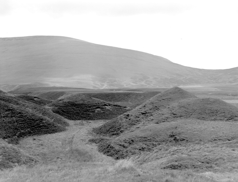
| Caption: | Near head of Glen Artney. Stirlingshire. Peat-covered sand and gravel terrace with one or two moraine mounds rising above it, and channels running through it. |
| Description: | Near head of Glen Artney. Stirlingshire. Peat-covered sand and gravel terrace with one or two moraine mounds rising above it, and channels running through it. View looking south-east across line of Highland Boundary Fault to Uamh Bheag group of hills composed of Lower Old Red Sandstone strata, mostly conglomerate. The Highland Boundary Fault is a very major fault line extending from Stonehaven to Helensburgh. It separates little deformed rocks of the Midland Valley and the intensely deformed rocks of the Highlands. |
| Date taken: | Sun Jan 01 00:00:00 GMT 1961 |
| Photographer: | Fisher, W.D. |
| Copyright statement: | Crown |
| Acknowledgment: | This image was digitized with grant-in-aid from SCRAN the Scottish Cultural Resources Access Network |
| X longitude/easting: | 267500 |
| Y latitude/northing: | 714500 |
| Coordinate reference system, ESPG code: | 27700 (OSGB 1936 / British National Grid) |
| Orientation: | Landscape |
| Size: | 160.84 KB; 1000 x 767 pixels; 85 x 65 mm (print at 300 DPI); 265 x 203 mm (screen at 96 DPI); |
| Average Rating: | Not yet rated |
| Categories: | Unsorted Images |
Loading...
Loading...
Reviews
There is currently no feedback