| P number: | P000563 |
|---|---|
| Old photograph number: | D00265 |
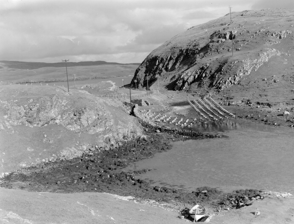
| Caption: | Mavis Grind. Looking north. Shetland Isles. Ell Wick and the North Sea on left, Mangaster Voe and the Atlantic Ocean on right. The curious lines on the shore are concrete blocks to form a tank-trap set up during the 1939-45 war. |
| Description: | Mavis Grind. Looking north. Shetland Isles. Ell Wick and the North Sea on left, Mangaster Voe and the Atlantic Ocean on right. The curious lines on the shore are concrete blocks to form a tank-trap set up during the 1939-45 war. The area is part of the Northmaven-Muckle Roe plutonic complex presumed to be of Old Red Sandstone age. It is composed of various types of granite, gabbro granophyre and as outcrops here at the Mavis Grind isthmus, diorite cut by granite dykes or vein networks. The intrusion appears to have been emplaced during a fairly long period of magmatic activity in the Devonian period. |
| Date taken: | Sun Jan 01 00:00:00 GMT 1961 |
| Photographer: | Fisher, W.D. |
| Copyright statement: | Crown |
| Acknowledgment: | This image was digitized with grant-in-aid from SCRAN the Scottish Cultural Resources Access Network |
| X longitude/easting: | 434500 |
| Y latitude/northing: | 1168500 |
| Coordinate reference system, ESPG code: | 27700 (OSGB 1936 / British National Grid) |
| Orientation: | Landscape |
| Size: | 214.95 KB; 1000 x 763 pixels; 85 x 65 mm (print at 300 DPI); 265 x 202 mm (screen at 96 DPI); |
| Average Rating: | Not yet rated |
| Categories: | Unsorted Images |
Loading...
Loading...
Reviews
There is currently no feedback