| P number: | P000551 |
|---|---|
| Old photograph number: | D00019 |
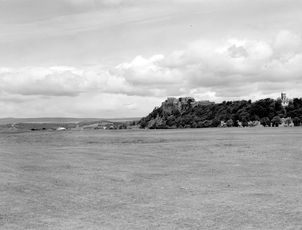
| Caption: | Stirling Castle from about 30 m. north of the pavilion, King's Park, Stirling. The flat of the high '100 ft. raised beach' at a level of about 120 feet above O.D. resting on the dip-slope of the Stirling Sill. |
| Description: | Stirling Castle from about 30 m. north of the pavilion, King's Park, Stirling. The flat of the high '100 ft. raised beach' at a level of about 120 feet above O.D. resting on the dip-slope of the Stirling Sill. The term raised beach in this context is slightly misleading as many of the deposits are of fluvioglacial origin and were laid down on the margins of the estuary in a series of deltas rather than strictly a littoral (beach) deposit. The escarpment formed by the Stirling Sill farther north, below the old town of Stirling, where it rises to a higher stratigraphical level may be seen in the background. |
| Date taken: | Sun Jan 01 00:00:00 GMT 1956 |
| Photographer: | Fisher, W.D. |
| Copyright statement: | Crown |
| Acknowledgment: | This image was digitized with grant-in-aid from SCRAN the Scottish Cultural Resources Access Network |
| X longitude/easting: | 278500 |
| Y latitude/northing: | 693500 |
| Coordinate reference system, ESPG code: | 27700 (OSGB 1936 / British National Grid) |
| Orientation: | Landscape |
| Size: | 172.94 KB; 1001 x 764 pixels; 85 x 65 mm (print at 300 DPI); 265 x 202 mm (screen at 96 DPI); |
| Average Rating: | Not yet rated |
| Categories: | Unsorted Images |
Loading...
Loading...
Reviews
There is currently no feedback