| P number: | P000550 |
|---|---|
| Old photograph number: | D00018 |
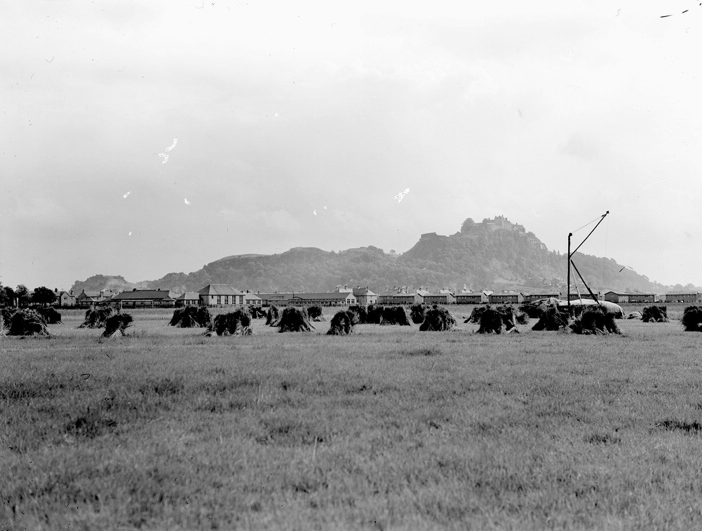
| Caption: | Stirling Castle sitting on the escarpment formed by the Stirling quartz-dolerite sill, taken from 305 m. west of Kildean Farm, west of Stirling. |
| Description: | The Stirling Sill known from borehole evidence to be 300 feet thick is intruded at various horizons ranging from the top of the Calciferous Sandstone Measures to the Limestone Coal Group, both Carboniferous. It changes from horizon to horizon by dyke-like 'risers'. Note the hay-ricks in the foreground. The flat area in the foreground is a low 25 ft. raised beach. The sill is regarded as late Carboniferous - early Permian age. |
| Date taken: | Sun Jan 01 00:00:00 GMT 1956 |
| Photographer: | Fisher, W.D. |
| Copyright statement: | Crown |
| Acknowledgment: | This image was digitized with grant-in-aid from SCRAN the Scottish Cultural Resources Access Network |
| Orientation: | Landscape |
| Size: | 158.25 KB; 1001 x 758 pixels; 85 x 64 mm (print at 300 DPI); 265 x 201 mm (screen at 96 DPI); |
| Average Rating: | Not yet rated |
| Categories: | Unsorted Images |
Loading...
Loading...
Reviews
There is currently no feedback