| P number: | P000549 |
|---|---|
| Old photograph number: | C04009 |
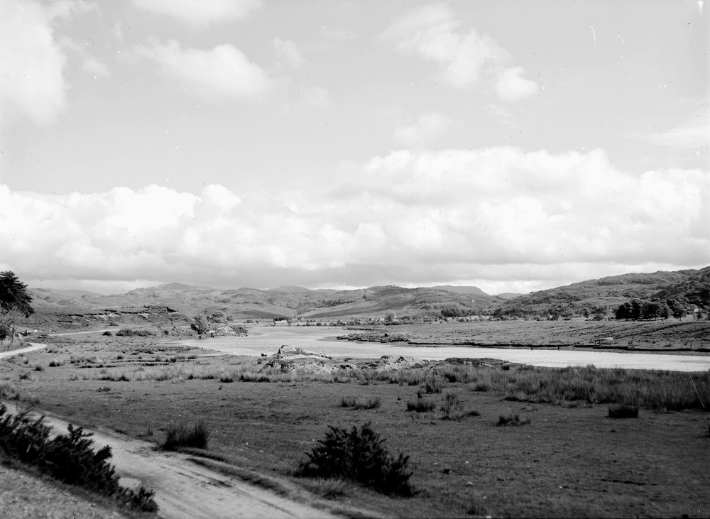
| Caption: | View looking south-south-east across Acharacle from near New Shiel Bridge (which crosses the River Shiel near the west end of Loch Shiel). Argyllshire. |
| Description: | The hills around Acharacle are formed of Moine schists. On the skyline, half right, the distant flat-topped hill is Beinn Iadain in Morvern, an outlier of Tertiary basalt lavas, an isolated remnant of the Tertiary volcanic province that covered large areas of the west coast of Scotland, offshore and Northern Ireland. Fluvioglacial terraces of sand and gravel in the foreground, on right beyond the river, and on left (in middle distance) above the road. |
| Date taken: | Sat Jan 01 00:00:00 GMT 1949 |
| Photographer: | Fisher, W.D. |
| Copyright statement: | Crown |
| Acknowledgment: | This image was digitized with grant-in-aid from SCRAN the Scottish Cultural Resources Access Network |
| X longitude/easting: | 167500 |
| Y latitude/northing: | 768500 |
| Coordinate reference system, ESPG code: | 27700 (OSGB 1936 / British National Grid) |
| Orientation: | Landscape |
| Size: | 150.05 KB; 1000 x 731 pixels; 85 x 62 mm (print at 300 DPI); 265 x 193 mm (screen at 96 DPI); |
| Average Rating: | Not yet rated |
| Categories: | Unsorted Images |
Loading...
Loading...
Reviews
There is currently no feedback