| P number: | P209891 |
|---|---|
| Old photograph number: | A09984 |
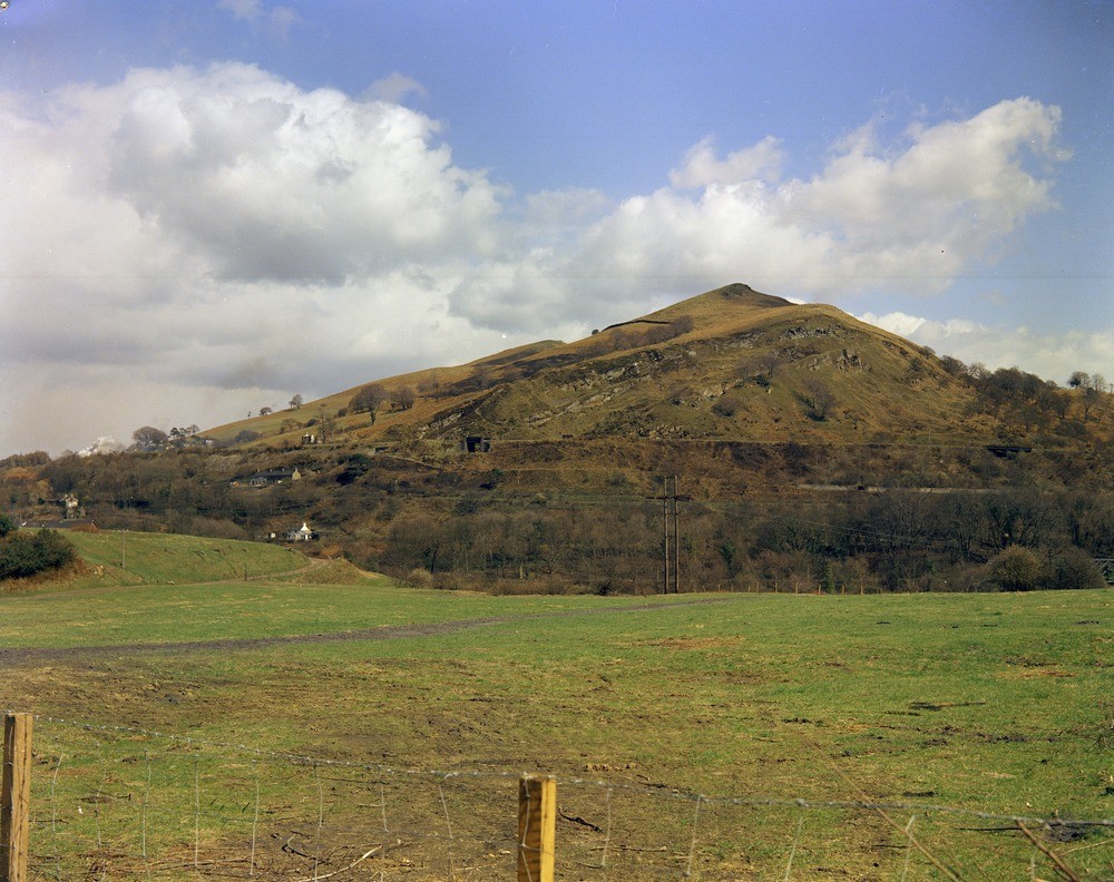
| Caption: | Craig-yr-Allt, 1 m. NE of Taffs Well. Looking NNE. |
| Description: | Craig-yr-Allt, 1 m. NE of Taffs Well. Looking NNE. Scarp and dip-slope formed by the Llynfi, Rhondda and Brithdir Beds of the Lower Pennant Measures. |
| Date taken: | Tue Jan 01 00:00:00 GMT 1963 |
| Photographer: | Pulsford, J.M. |
| Copyright statement: | Crown |
| X longitude/easting: | 313500 |
| Y latitude/northing: | 185500 |
| Coordinate reference system, ESPG code: | 27700 (OSGB 1936 / British National Grid) |
| Orientation: | Landscape |
| Size: | 268.97 KB; 1000 x 792 pixels; 85 x 67 mm (print at 300 DPI); 265 x 210 mm (screen at 96 DPI); |
| Average Rating: | Not yet rated |
| Categories: | Unsorted Images, Geoscience subjects/ Landforms, river/ Escarpments, Geoscience subjects/ Stratigraphical/ Carboniferous |
Loading...
Loading...
Reviews
There is currently no feedback