| P number: | P209202 |
|---|---|
| Old photograph number: | A09280 |
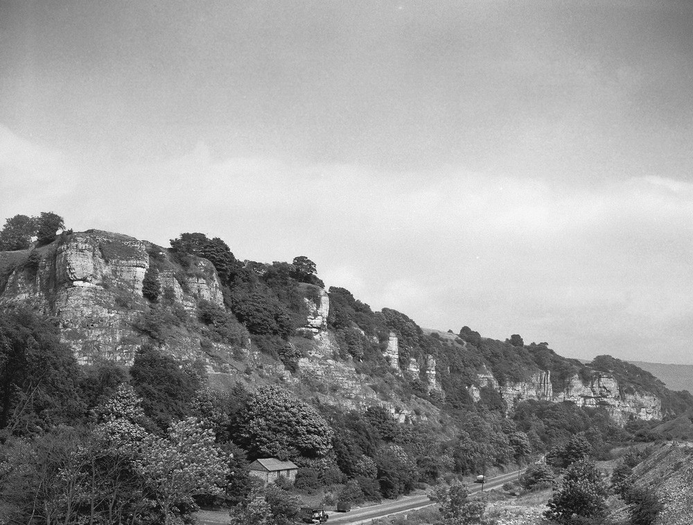
| Caption: | Millstone Grit country, Castleton, Derbyshire. |
| Description: | Castleton, looking north-east. Carboniferous Millstone Grit. View from Mam Tor, across Mam Tor landslip (in foreground) and northern side of Hope Valley. The ridge of hills in the middle distance (left) is capped by Mam Tor Sandstone; and a landslip scar can be seen facing north-west into the Vale of Edale, which lies on the far side of the ridge. The cultivated part of the valley roughly coincides with the outcrop of the Edale Shales, lying below the Mam Tor Sandstone. The Millstone Grit Series is a group of mudstones and shales with beds of sandstone and grit that separate the Carboniferous Limestone from the Coal Measures. They were deposited by rivers flowing south from the Scottish Highlands in a series of deltas and floodplains. The Millstone Grit achieves a maximum thickness of 2000 metres. |
| Date taken: | Mon Jul 01 00:00:00 BST 1957 |
| Photographer: | Pulsford, J.M. |
| Copyright statement: | Crown |
| X longitude/easting: | 414500 |
| Y latitude/northing: | 382500 |
| Coordinate reference system, ESPG code: | 27700 (OSGB 1936 / British National Grid) |
| Orientation: | Landscape |
| Size: | 270.23 KB; 1000 x 757 pixels; 85 x 64 mm (print at 300 DPI); 265 x 200 mm (screen at 96 DPI); |
| Average Rating: | Not yet rated |
| Categories: | Unsorted Images, Geoscience subjects/ General views/ Sand, sandstone and grit country |
Loading...
Loading...
Reviews
There is currently no feedback