| P number: | P203178 |
|---|---|
| Old photograph number: | A03230 |
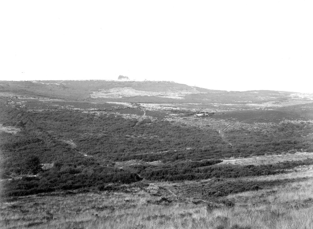
| Caption: | Caesar's Camp, 2 m. W. by S. of Aldershot Station. Looking N. |
| Description: | Caesar's Camp, 2 m. W. by S. of Aldershot Station. Looking N. Plateau of High Level Gravels (600 ft. above O.D.) capping Eocene hills. The skyline on the left is part of the Hale Plateau which consists of (? marine) gravels (see Nos. A3233 and A3235-3238). The steep upper slope to the right and the front of the clump of trees is formed of Barton Sand, which rests upon the clayey Bracklesham Beds forming the gentler slopes. At the base of the Barton Sand springs are thrown out which are tapped for water supply (see A3231). The water from the springs is eroding back and undercutting the Barton Sand beneath the gravel, causing it to fall to the foot of the steep slope (see No. A3232). The valley in the foreground is ou in Bracklesham Beds. |
| Date taken: | Tue Oct 06 00:00:00 GMT 1925 |
| Photographer: | Rhodes, J. |
| Copyright statement: | Crown |
| X longitude/easting: | 483500 |
| Y latitude/northing: | 150500 |
| Coordinate reference system, ESPG code: | 27700 (OSGB 1936 / British National Grid) |
| Orientation: | Landscape |
| Size: | 208.31 KB; 1000 x 732 pixels; 85 x 62 mm (print at 300 DPI); 265 x 194 mm (screen at 96 DPI); |
| Average Rating: | Not yet rated |
| Categories: | Unsorted Images, Geoscience subjects/ Landforms, weathering/ Plateaux, Geoscience subjects/ General views/ Sand, sandstone and grit country |
Loading...
Loading...
Reviews
There is currently no feedback