| P number: | P000467 |
|---|---|
| Old photograph number: | C01878 |
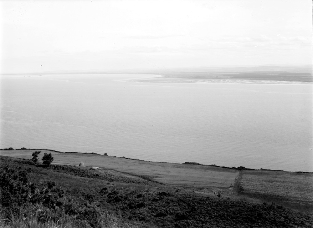
| Caption: | View from Hillockhead, 4.0 km. north-east of Fortrose. Looking south-east. Ross & Cromarty. Part of a panorama of the coastal lowland on the south side of the inner Moray Firth and entrance to Inverness Firth. (With C01879, C01880.) |
| Description: | View from Hillockhead, 4.0 km. north-east of Fortrose. Looking south-east. Ross & Cromarty. Part of a panorama of the coastal lowland on the south side of the inner Moray Firth and entrance to Inverness Firth. (With C01879, C01880.) The area between Fort George and Whiteness Head, an area of accumulation of sand forming the outer part of the process of creating a 'hook' or 'corran' of which Fort George is at the point. In addition, the area is one where thick deposits of blown sand blanket the raised Flandrian beaches. |
| Date taken: | Wed Jan 01 00:00:00 GMT 1913 |
| Photographer: | Lunn, R. |
| Copyright statement: | Crown |
| Acknowledgment: | This image was digitized with grant-in-aid from SCRAN the Scottish Cultural Resources Access Network |
| X longitude/easting: | 274500 |
| Y latitude/northing: | 860500 |
| Coordinate reference system, ESPG code: | 27700 (OSGB 1936 / British National Grid) |
| Orientation: | Landscape |
| Size: | 128.39 KB; 1000 x 729 pixels; 85 x 62 mm (print at 300 DPI); 265 x 193 mm (screen at 96 DPI); |
| Average Rating: | Not yet rated |
| Categories: | Unsorted Images |
Loading...
Loading...
Reviews
There is currently no feedback