| P number: | P203031 |
|---|---|
| Old photograph number: | A03083 |
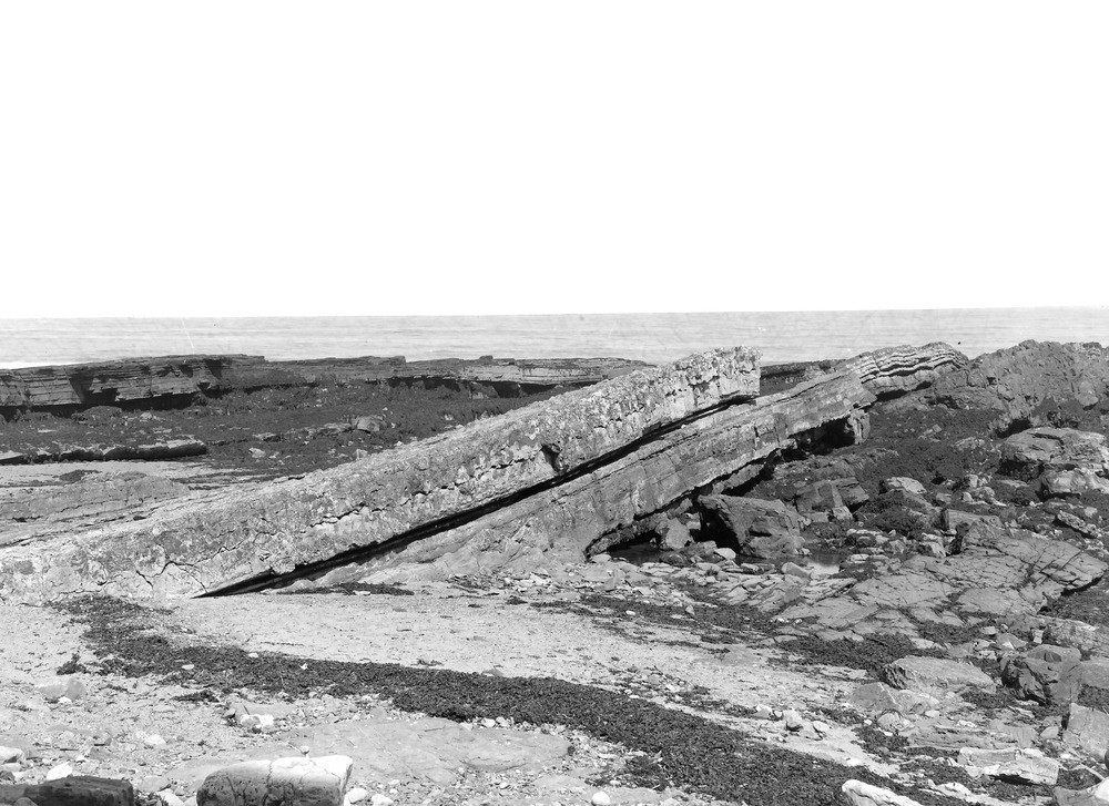
| Caption: | On foreshore, about 700 yd. S. of Cullernose Point, about 1 m. S. of Craster. Looking NE. |
| Description: | On foreshore, about 700 yd. S. of Cullernose Point, about 1 m. S. of Craster. Looking NE. Acre Limestone with underlying whin sill. |
| Date taken: | Mon Jun 01 00:00:00 BST 1925 |
| Photographer: | Rhodes, J. |
| Copyright statement: | Crown |
| X longitude/easting: | 426500 |
| Y latitude/northing: | 617500 |
| Coordinate reference system, ESPG code: | 27700 (OSGB 1936 / British National Grid) |
| Orientation: | Landscape |
| Size: | 234.36 KB; 1000 x 727 pixels; 85 x 62 mm (print at 300 DPI); 265 x 192 mm (screen at 96 DPI); |
| Average Rating: | Not yet rated |
| Categories: | Unsorted Images, Geoscience subjects/ Igneous features/ Sills |
Loading...
Loading...
Reviews
There is currently no feedback