| P number: | P202817 |
|---|---|
| Old photograph number: | A02869 |
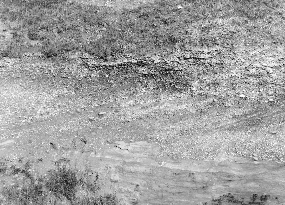
| Caption: | Pit at Hilton Farm, 1 m. N. of Sheriff Hales. Looking S. |
| Description: | Pit at Hilton Farm, 1 m. N. of Sheriff Hales. Looking S. False-bedded Bunter Pebble Beds on eroded surface of Lower Mottled Sandstone. Near view of No. A2868. |
| Date taken: | Mon Sep 01 00:00:00 BST 1924 |
| Photographer: | Rhodes, J. |
| Copyright statement: | Crown |
| X longitude/easting: | 376500 |
| Y latitude/northing: | 313500 |
| Coordinate reference system, ESPG code: | 27700 (OSGB 1936 / British National Grid) |
| Orientation: | Landscape |
| Size: | 361.45 KB; 1000 x 720 pixels; 85 x 61 mm (print at 300 DPI); 265 x 190 mm (screen at 96 DPI); |
| Average Rating: | Not yet rated |
| Categories: | Unsorted Images, Geoscience subjects/ Economic geology/ Gravel and sand |
Loading...
Loading...
Reviews
There is currently no feedback