| P number: | P202767 |
|---|---|
| Old photograph number: | A02819 |
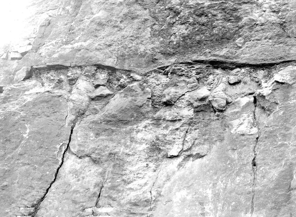
| Caption: | Clints Quarry, Bigrigg. Looking SW. |
| Description: | Clints Quarry, Bigrigg. Looking SW. Contemporaneous potholes at summit of Potholes Beds, Fourth Limestone. Potholes filled chiefly with speckled sandstone with plant-remains. They are overlain by brown sandstone on shale (2 ft. in all). Upper part of section shows lower part of Junceum Beds. |
| Date taken: | Fri Aug 01 00:00:00 BST 1924 |
| Photographer: | Rhodes, J. |
| Copyright statement: | Crown |
| X longitude/easting: | 300500 |
| Y latitude/northing: | 513500 |
| Coordinate reference system, ESPG code: | 27700 (OSGB 1936 / British National Grid) |
| Orientation: | Landscape |
| Size: | 343.65 KB; 1001 x 732 pixels; 85 x 62 mm (print at 300 DPI); 265 x 194 mm (screen at 96 DPI); |
| Average Rating: | Not yet rated |
| Categories: | Unsorted Images, Geoscience subjects/ Economic geology/ Cement and lime, limestone quarries and chalk pits |
Loading...
Loading...
Reviews
There is currently no feedback