| P number: | P202751 |
|---|---|
| Old photograph number: | A02803 |
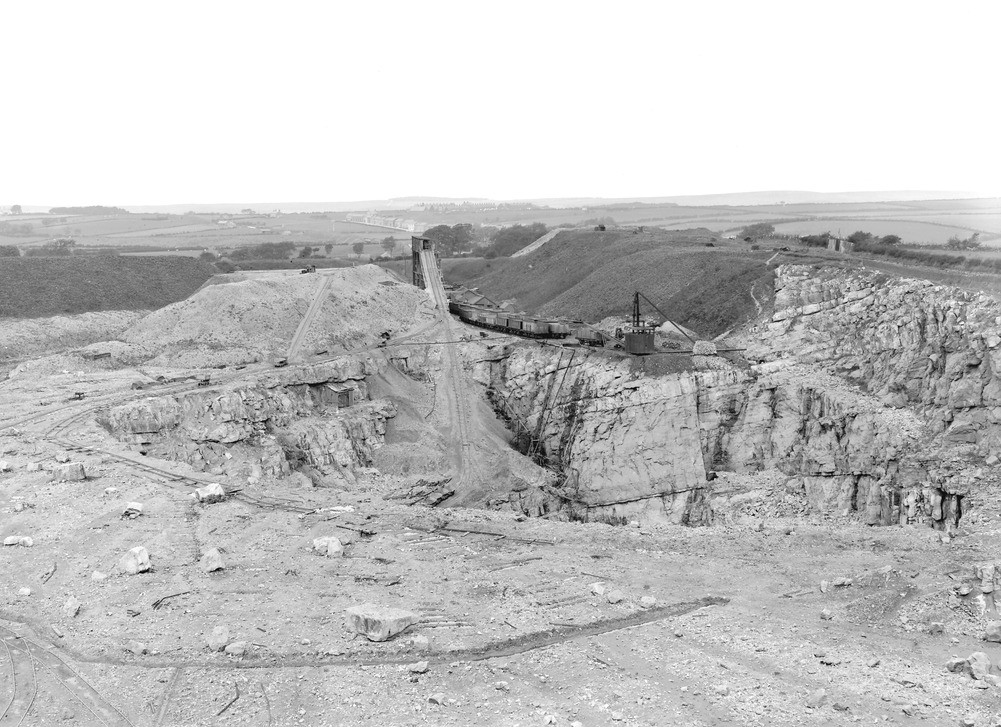
| Caption: | Rowrah Hall Quarry, 3 furlongs S. of Rowrah Station, Lamplugh parish. Looking NW. |
| Description: | Rowrah Hall Quarry, 3 furlongs S. of Rowrah Station, Lamplugh parish. Looking NW. Quarry in Fourth Limestone. Limestone used for smelting. For sequence see Geol. Mag., 1922, pp.81-3. Succession seen: 5. Pot-holes Bed: at top of lower quarry where crossed by 4. Spotted Beds: pale, well-bedded limestones. (incline 3. Rough beds: a dark band 1 1/20 in. wide in view: (see A2804) to the right of the bottom of the incline. 2. Calcite-mudstone (base of D2): a thin bed. 1. White Beds: top only seen. |
| Date taken: | Fri Aug 01 00:00:00 BST 1924 |
| Photographer: | Rhodes, J. |
| Copyright statement: | Crown |
| X longitude/easting: | 306500 |
| Y latitude/northing: | 518500 |
| Coordinate reference system, ESPG code: | 27700 (OSGB 1936 / British National Grid) |
| Orientation: | Landscape |
| Size: | 250.09 KB; 1001 x 727 pixels; 85 x 62 mm (print at 300 DPI); 265 x 192 mm (screen at 96 DPI); |
| Average Rating: | Not yet rated |
| Categories: | Unsorted Images, Geoscience subjects/ Rocks, sedimentary/ Limestone, Geoscience subjects/ Economic geology/ Cement and lime, limestone quarries and chalk pits |
Loading...
Loading...
Reviews
There is currently no feedback