| P number: | P202740 |
|---|---|
| Old photograph number: | A02792 |
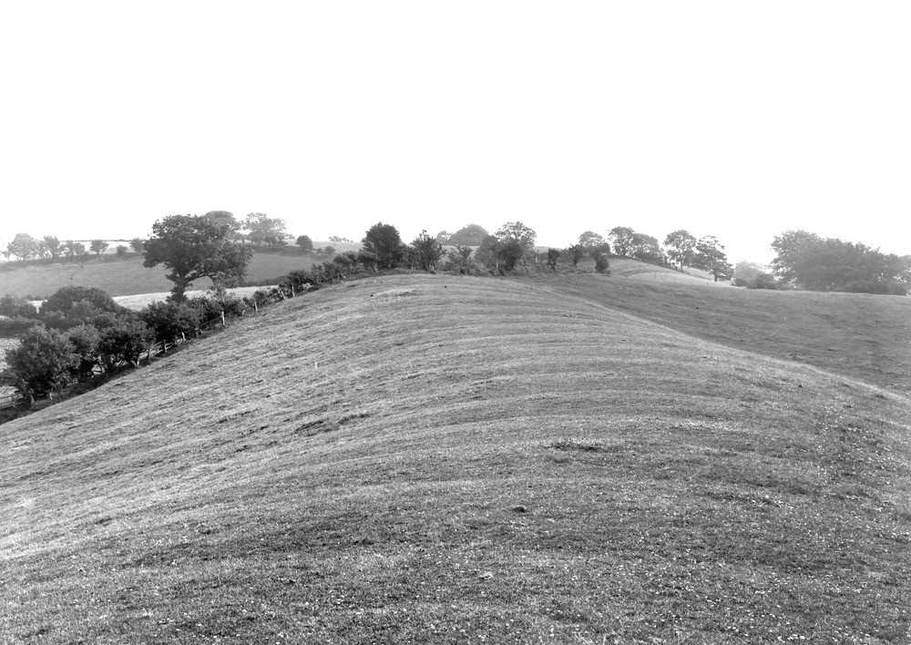
| Caption: | 200 yd. N. of Todhole, and 5 furlongs NE of Lamplugh Station, Lamplugh. Looking NE. |
| Description: | 200 yd. N. of Todhole, and 5 furlongs NE of Lamplugh Station, Lamplugh. Looking NE. The Todhole Beck esker. See 'Summary of Progress for 1921', App. I, p.122, and photo. A2791. At the hedge the esker turns sharp right, and only one slope is seen. Beyond the right margin of the view it turns sharp left, and the rounded crest may be seen below the hedge with trees, 1?-2 in. from that margin. It then merges in the plateau beyond, an out-wash delta of the Lake District ice-cap. |
| Date taken: | Tue Jul 01 00:00:00 BST 1924 |
| Photographer: | Rhodes, J. |
| Copyright statement: | Crown |
| X longitude/easting: | 307477 |
| Y latitude/northing: | 522385 |
| Coordinate reference system, ESPG code: | 27700 (OSGB 1936 / British National Grid) |
| Orientation: | Landscape |
| Size: | 239.06 KB; 1000 x 708 pixels; 85 x 60 mm (print at 300 DPI); 265 x 187 mm (screen at 96 DPI); |
| Average Rating: | Not yet rated |
| Categories: | Unsorted Images, Geoscience subjects/ Landforms, glaciation/ Kames and eskers |
Loading...
Loading...
Reviews
There is currently no feedback