| P number: | P202739 |
|---|---|
| Old photograph number: | A02791 |
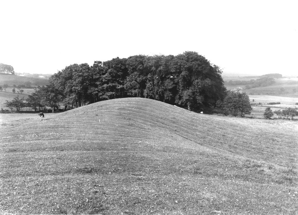
| Caption: | 200 yd. N. of Todhole, and 5 furlongs NE of Lamplugh Station, Lamplugh. Looking SW. |
| Description: | 200 yd. N. of Todhole, and 5 furlongs NE of Lamplugh Station, Lamplugh. Looking SW. The Todhole Beck esker. See 'Summary of Progress for 1921', App. I, p.122. The lower, western end of the esker is seen. Todhole Beck lies on the left. The upper part of the esker is seen in A2792. |
| Date taken: | Tue Jul 01 00:00:00 BST 1924 |
| Photographer: | Rhodes, J. |
| Copyright statement: | Crown |
| X longitude/easting: | 307477 |
| Y latitude/northing: | 522385 |
| Coordinate reference system, ESPG code: | 27700 (OSGB 1936 / British National Grid) |
| Orientation: | Landscape |
| Size: | 257.01 KB; 1000 x 722 pixels; 85 x 61 mm (print at 300 DPI); 265 x 191 mm (screen at 96 DPI); |
| Average Rating: | Not yet rated |
| Categories: | Unsorted Images, Geoscience subjects/ Landforms, glaciation/ Kames and eskers |
Loading...
Loading...
Reviews
There is currently no feedback