| P number: | P202692 |
|---|---|
| Old photograph number: | A02744 |
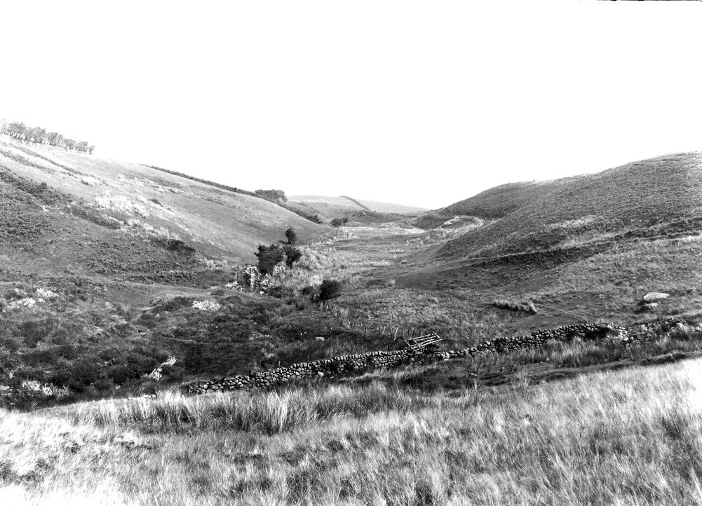
| Caption: | 300 yd. SE of High Cockhow, about 1 m. S. of Ennerdale Bridge. Looking N. |
| Description: | 300 yd. SE of High Cockhow, about 1 m. S. of Ennerdale Bridge. Looking N. The 700 ft. (-) overflow from Glacier-Lake Ennerdale cut through glacial gravels to Skiddaw Slate. Floor occupied by peat. Boulder clay foreground. |
| Date taken: | Tue Jul 01 00:00:00 BST 1924 |
| Photographer: | Rhodes, J. |
| Copyright statement: | Crown |
| X longitude/easting: | 306500 |
| Y latitude/northing: | 514500 |
| Coordinate reference system, ESPG code: | 27700 (OSGB 1936 / British National Grid) |
| Orientation: | Landscape |
| Size: | 250.96 KB; 1001 x 722 pixels; 85 x 61 mm (print at 300 DPI); 265 x 191 mm (screen at 96 DPI); |
| Average Rating: | Not yet rated |
| Categories: | Unsorted Images, Geoscience subjects/ Landforms, glaciation/ Glacial lakes and rock basins, Geoscience subjects/ Landforms, glaciation/ Overflow and marginal channels |
Loading...
Loading...
Reviews
There is currently no feedback