| P number: | P202641 |
|---|---|
| Old photograph number: | A02693 |
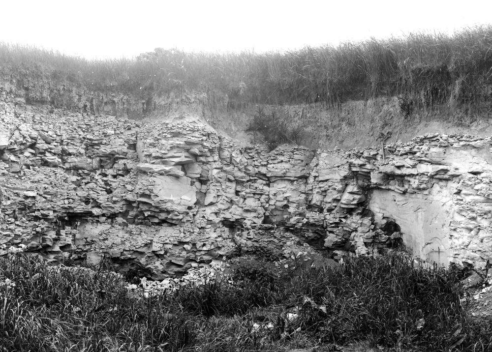
| Caption: | Pit E. of Horton, about 1 m. SE of Bishop's Cannings. Looking E. |
| Description: | Pit E. of Horton, about 1 m. SE of Bishop's Cannings. Looking E. Lower Chalk near Horton. Pit in Chalk Marl (Schloenbachia varians Zone). Note the conchoidal and sub-spheroidal fracture developed on weathering. The Chalk is covered by a wash of fine chalky rubble and loam of recent age. |
| Date taken: | Thu May 01 00:00:00 BST 1924 |
| Photographer: | Rhodes, J. |
| Copyright statement: | Crown |
| X longitude/easting: | 405500 |
| Y latitude/northing: | 163500 |
| Coordinate reference system, ESPG code: | 27700 (OSGB 1936 / British National Grid) |
| Orientation: | Landscape |
| Size: | 331.67 KB; 1000 x 716 pixels; 85 x 61 mm (print at 300 DPI); 265 x 189 mm (screen at 96 DPI); |
| Average Rating: | Not yet rated |
| Categories: | Unsorted Images, Geoscience subjects/ Landforms, weathering, Geoscience subjects/ Landforms, weathering/ Rock weathering, Geoscience subjects/ Landforms, weathering/ Weathering along bedding. Joints, cleavage, Geoscience subjects/ Economic geology/ Cement and lime, limestone quarries and chalk pits, Geoscience subjects/ Landforms, weathering/ Formation of soil and subsoil |
Loading...
Loading...
Reviews
There is currently no feedback