| P number: | P202583 |
|---|---|
| Old photograph number: | A02635 |
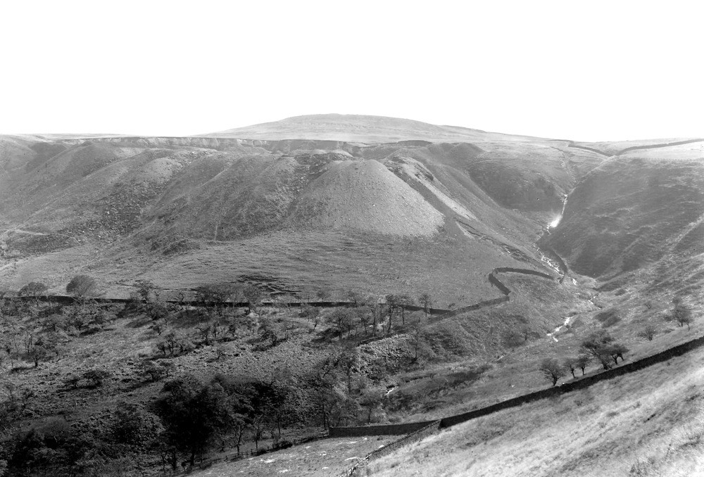
| Caption: | From near Rake Head House, Accrington. Looking SE. |
| Description: | From near Rake Head House, Accrington. Looking SE. Lower and Middle Coal Measures, Lancashire. View of Hameldon Scout, the escarpment of the Old Lawrence Rock, masked by quarry spoil. In the background is Great Hameldon, 1343 ft. above Ordnance Datum, capped by the Dandy Rock. The Arley Mine crops at the base of the hill. The lower slopes below the Old Lawrence are in Accrington Mudstones. |
| Date taken: | Sat Sep 01 00:00:00 BST 1923 |
| Photographer: | Rhodes, J. |
| Copyright statement: | Crown |
| X longitude/easting: | 375500 |
| Y latitude/northing: | 428500 |
| Coordinate reference system, ESPG code: | 27700 (OSGB 1936 / British National Grid) |
| Orientation: | Landscape |
| Size: | 206.07 KB; 1000 x 678 pixels; 85 x 57 mm (print at 300 DPI); 265 x 179 mm (screen at 96 DPI); |
| Average Rating: | Not yet rated |
| Categories: | Unsorted Images, Geoscience subjects/ Landforms, river/ Valleys |
Loading...
Loading...
Reviews
There is currently no feedback