| P number: | P202483 |
|---|---|
| Old photograph number: | A02535 |
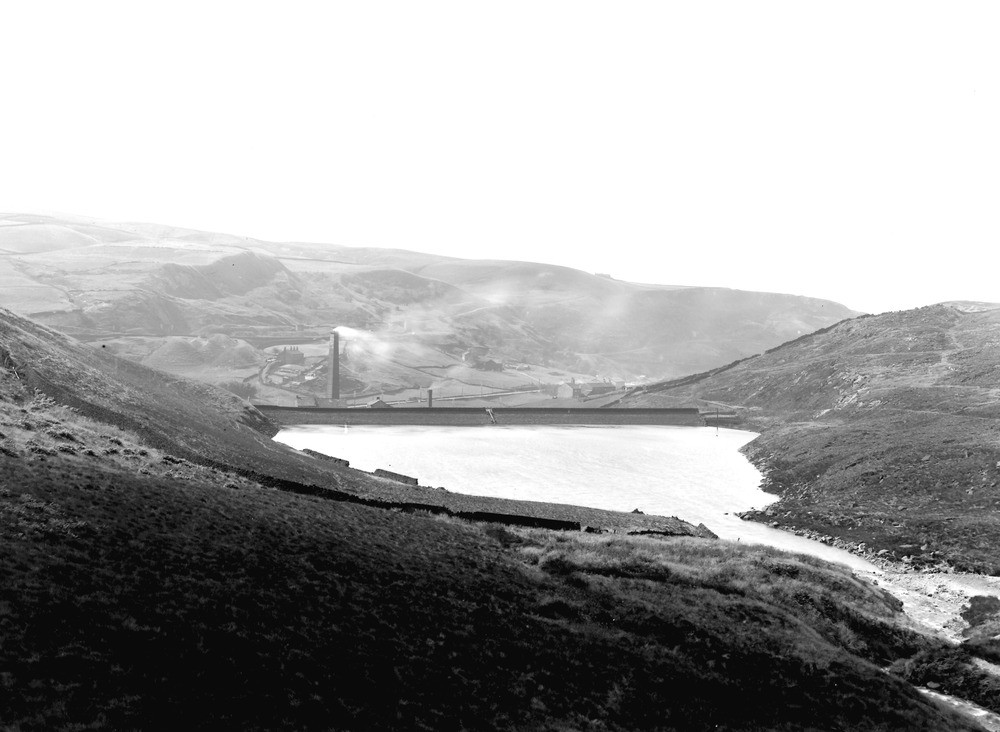
| Caption: | Reservoir, Summit, about 1 m. N. of Littleborough. Looking NNW. |
| Description: | Reservoir, Summit, about 1 m. N. of Littleborough. Looking NNW. Snoddle Hill Reservoir, Summit, Littleborough. Reservoir built in a glacial overflow or dry channel. In distance by buildings southern end of Summit gorge, also a glacial overflow or dry channel. Hills covered with much landslipping, the variable beds of the Middle Grits. |
| Date taken: | Wed Aug 01 00:00:00 BST 1923 |
| Photographer: | Rhodes, J. |
| Copyright statement: | Crown |
| X longitude/easting: | 394500 |
| Y latitude/northing: | 418500 |
| Coordinate reference system, ESPG code: | 27700 (OSGB 1936 / British National Grid) |
| Orientation: | Landscape |
| Size: | 152.65 KB; 1000 x 732 pixels; 85 x 62 mm (print at 300 DPI); 265 x 194 mm (screen at 96 DPI); |
| Average Rating: | Not yet rated |
| Categories: | Unsorted Images, Geoscience subjects/ Economic geology/ Bricks, clay and marl quarries |
Loading...
Loading...
Reviews
There is currently no feedback