| P number: | P000400 |
|---|---|
| Old photograph number: | C01461 |
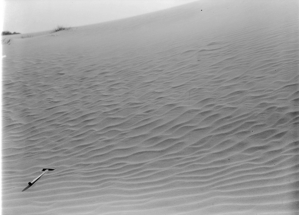
| Caption: | Culbin sand-hills. Morayshire. Wind-rippled surface of blown sand. The direction of sand-drift is obliquely from left to right i.e. from west to east. |
| Description: | Culbin sand-hills. Morayshire. Wind-rippled surface of blown sand. The direction of sand-drift is obliquely from left to right i.e. from west to east. Sand moves by one of three processes. Very fine material is caught by eddies and carried upwards in suspension for hundreds of metres. By a process called saltation, sand grains are steadily driven in a layer less than a metre, grains jump upwards after impact from other moving particles, their range is c. 2.5 cm.-27 cm. depending on size and wind strength. Heavier grains are dislodged for a short distance in a slower 'creep'. The Culbin sand-hills covered an area amounting to six square miles extending from Low Wood to the mouth of the River Findhorn. Along the centre of the tract is a series of bare dome-shaped hills of sand rising to over 100 feet. |
| Date taken: | Sat Jan 01 00:00:00 GMT 1910 |
| Photographer: | Lunn, R. |
| Copyright statement: | Crown |
| Acknowledgment: | This image was digitized with grant-in-aid from SCRAN the Scottish Cultural Resources Access Network |
| X longitude/easting: | 298500 |
| Y latitude/northing: | 862500 |
| Coordinate reference system, ESPG code: | 27700 (OSGB 1936 / British National Grid) |
| Orientation: | Landscape |
| Size: | 136.56 KB; 1000 x 720 pixels; 85 x 61 mm (print at 300 DPI); 265 x 190 mm (screen at 96 DPI); |
| Average Rating: | Not yet rated |
| Categories: | Unsorted Images |
Loading...
Loading...
Reviews
There is currently no feedback