| P number: | P202392 |
|---|---|
| Old photograph number: | A02444 |
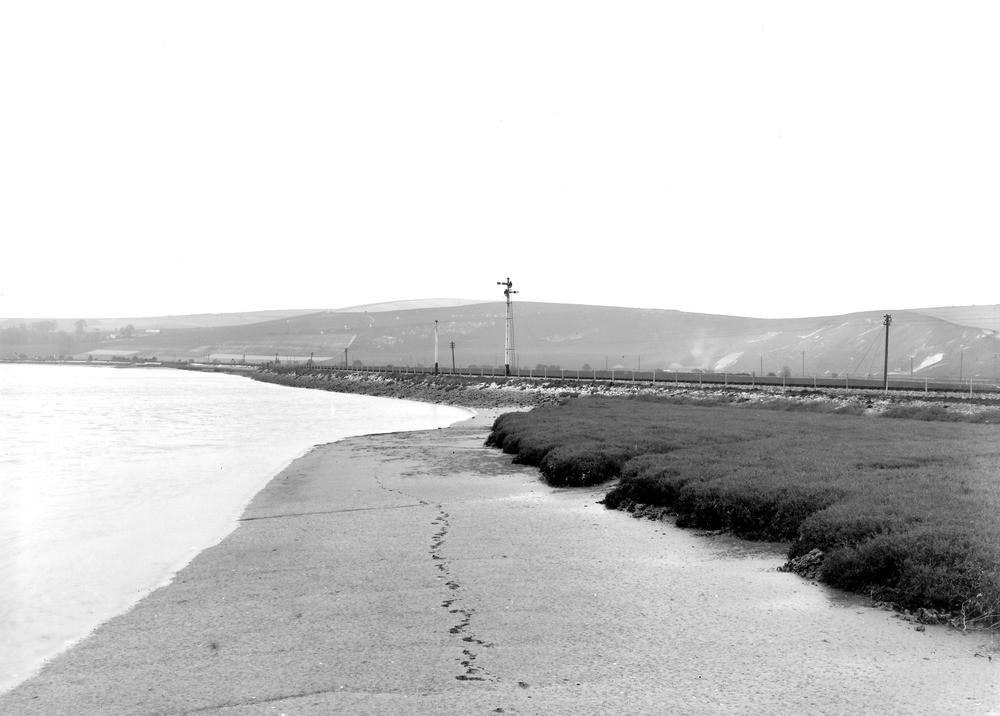
| Caption: | Adur Valley, from near Old Shoreham Bridge. Looking NW by NE. |
| Description: | Adur Valley, from near Old Shoreham Bridge. Looking NW by NE. Estuary of the River Adur, Old Shoreham. Looking up the Adur Valley in the South Downs. In No. A2443, the shafts of the British Portland Cement Works near Upper Beeding are seen on the skyline. In No. A2444, Truleigh Hill, near the Chalk escarpment above Edburton, is seen in the distance, above the farther signal-post. The two quarries in the bluff to the right of the signal-posts are in the Zone of Marsupites testudinarius. |
| Date taken: | Sun Apr 01 00:00:00 GMT 1923 |
| Photographer: | Rhodes, J. |
| Copyright statement: | Crown |
| X longitude/easting: | 521500 |
| Y latitude/northing: | 106500 |
| Coordinate reference system, ESPG code: | 27700 (OSGB 1936 / British National Grid) |
| Orientation: | Landscape |
| Size: | 135.09 KB; 1000 x 716 pixels; 85 x 61 mm (print at 300 DPI); 265 x 189 mm (screen at 96 DPI); |
| Average Rating: | Not yet rated |
| Categories: | Unsorted Images, Geoscience subjects/ Landforms, river/ Estuaries |
Loading...
Loading...
Reviews
There is currently no feedback