| P number: | P202390 |
|---|---|
| Old photograph number: | A02442 |
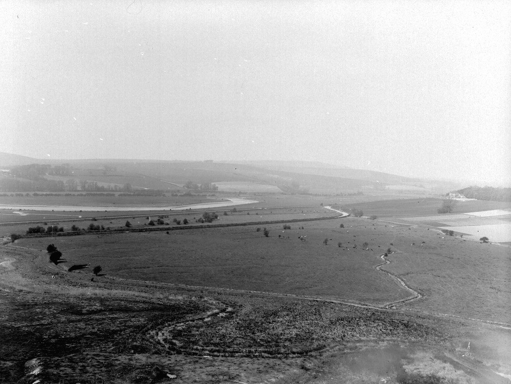
| Caption: | From Mill Hill, about 1/2 m. N. of Old Shoreham. Looking NW. |
| Description: | From Mill Hill, about 1/2 m. N. of Old Shoreham. Looking NW. Adur Valley near Old Shoreham. River Adur on the left and Old Erringham Farm on the right. Steyning Round Hill in the distance, near middle of view. |
| Date taken: | Sun Apr 01 00:00:00 GMT 1923 |
| Photographer: | Rhodes, J. |
| Copyright statement: | Crown |
| X longitude/easting: | 521500 |
| Y latitude/northing: | 106500 |
| Coordinate reference system, ESPG code: | 27700 (OSGB 1936 / British National Grid) |
| Orientation: | Landscape |
| Size: | 221.22 KB; 1000 x 751 pixels; 85 x 64 mm (print at 300 DPI); 265 x 199 mm (screen at 96 DPI); |
| Average Rating: | Not yet rated |
| Categories: | Unsorted Images, Geoscience subjects/ Landforms, river/ Flood-plains and alluvial flats |
Loading...
Loading...
Reviews
There is currently no feedback