| P number: | P202365 |
|---|---|
| Old photograph number: | A02417 |
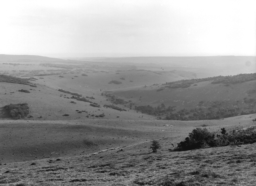
| Caption: | 1/4 m. SW of Chanctonbury Ring. Looking SSW. |
| Description: | 1/4 m. SW of Chanctonbury Ring. Looking SSW. The South Downs near Chanctonbury. Combes in the dip-slope of the Chalk. Turf with patches of scrub (furze, juniper, thorn, etc.). In the distance, the west side of the Findon valley, on the right, and Cissbury Hill on the left. Between and beyond them, indistinctly seen, is the top of Highdown Hill near Goring. |
| Date taken: | Sun Apr 01 00:00:00 GMT 1923 |
| Photographer: | Rhodes, J. |
| Copyright statement: | Crown |
| X longitude/easting: | 513500 |
| Y latitude/northing: | 111500 |
| Coordinate reference system, ESPG code: | 27700 (OSGB 1936 / British National Grid) |
| Orientation: | Landscape |
| Size: | 180.00 KB; 1000 x 728 pixels; 85 x 62 mm (print at 300 DPI); 265 x 193 mm (screen at 96 DPI); |
| Average Rating: | Not yet rated |
| Categories: | Unsorted Images, Geoscience subjects/ Landforms, river/ Valleys, Geoscience subjects/ General views/ Chalk country |
Loading...
Loading...
Reviews
There is currently no feedback