| P number: | P202348 |
|---|---|
| Old photograph number: | A02400 |
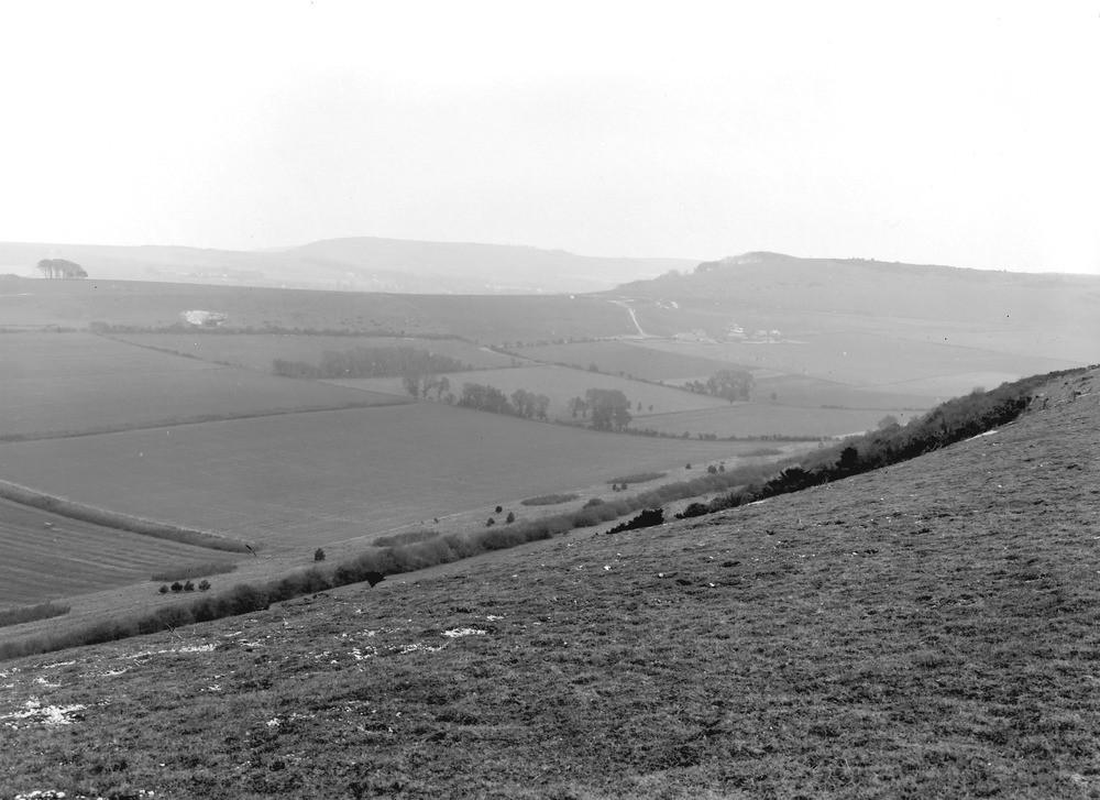
| Caption: | Cissbury Camp, from Black Patch Hill. Looking SE. |
| Description: | Cissbury Camp, from Black Patch Hill. Looking SE. Second or Outer Chalk escarpment of the South Downs. This view is the converse of No. A2399 (q.v.). Part of Black Patch Hill in foreground. Church Hill, with Tormair Farm below it, on right. Cissbury Hill in distance. The Chalk dips gently to the right, and the rise of the ground at the oncoming of the Offaster pilula and Actinocamax quadratus Zones is seen in the outlines of the Church Hill and Cissbury ridges. The pit in the Church Hill ridge is in the Uintacrinus Band of the Marsupites Zone. |
| Date taken: | Sun Apr 01 00:00:00 GMT 1923 |
| Photographer: | Rhodes, J. |
| Copyright statement: | Crown |
| X longitude/easting: | 509500 |
| Y latitude/northing: | 109500 |
| Coordinate reference system, ESPG code: | 27700 (OSGB 1936 / British National Grid) |
| Orientation: | Landscape |
| Size: | 185.75 KB; 1000 x 727 pixels; 85 x 62 mm (print at 300 DPI); 265 x 192 mm (screen at 96 DPI); |
| Average Rating: | Not yet rated |
| Categories: | Unsorted Images, Geoscience subjects/ Landforms, river/ Escarpments |
Loading...
Loading...
Reviews
There is currently no feedback