| P number: | P000388 |
|---|---|
| Old photograph number: | C01449 |
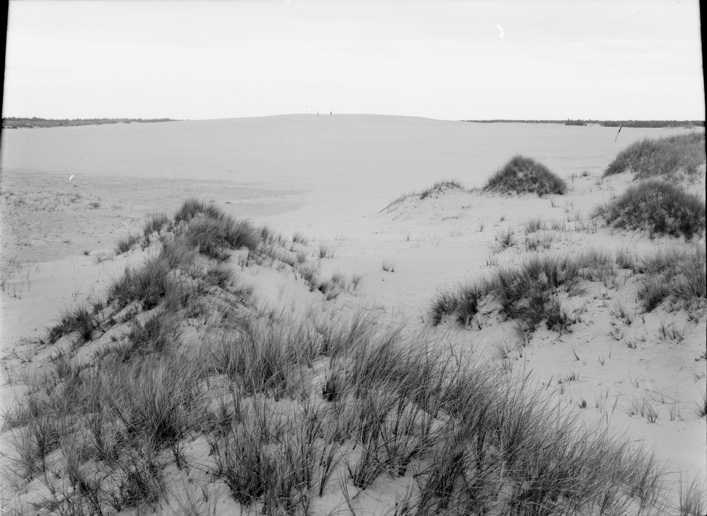
| Caption: | Maviston sand-hills. Morayshire. Dome of drifting sand, from the west of landward side. The direction of drift is away from observer. |
| Description: | Maviston sand-hills. Morayshire. Dome of drifting sand, from the west of landward side. The direction of drift is away from observer. Today, this area is covered with forestry, at the time of the photograph the area was endless sandy wastes with dunes up to 30 metres high. The encroachment of the sand along the coast east from Nairn, which according to contemporary records, had been in progress for many years, culminated in the great storm in the autumn of 1694 that caused the destruction of the very fertile Culbin Estate. |
| Date taken: | Sat Jan 01 00:00:00 GMT 1910 |
| Photographer: | Lunn, R. |
| Copyright statement: | Crown |
| Acknowledgment: | This image was digitized with grant-in-aid from SCRAN the Scottish Cultural Resources Access Network |
| X longitude/easting: | 293500 |
| Y latitude/northing: | 859500 |
| Coordinate reference system, ESPG code: | 27700 (OSGB 1936 / British National Grid) |
| Orientation: | Landscape |
| Size: | 189.35 KB; 1000 x 730 pixels; 85 x 62 mm (print at 300 DPI); 265 x 193 mm (screen at 96 DPI); |
| Average Rating: | Not yet rated |
| Categories: | Unsorted Images |
Loading...
Loading...
Reviews
There is currently no feedback