| P number: | P202253 |
|---|---|
| Old photograph number: | A02305 |
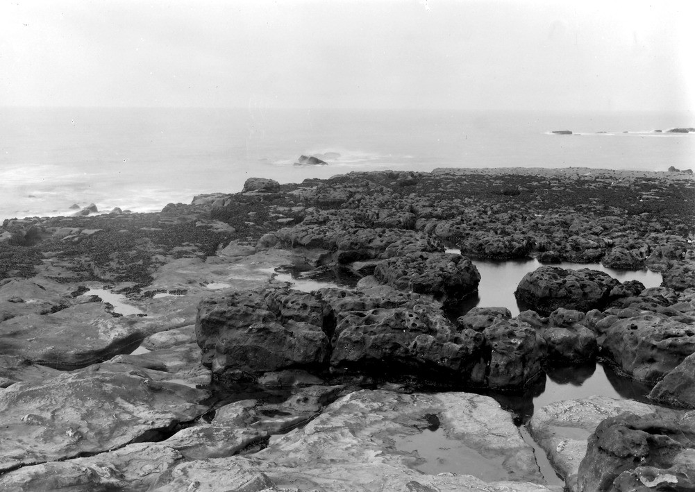
| Caption: | On foreshore half-way between Cunning Point and Cat Gill, 3 m. N. of Whitehaven Harbour. Looking N. |
| Description: | On foreshore half-way between Cunning Point and Cat Gill, 3 m. N. of Whitehaven Harbour. Looking N. Rough weathered surface of gannister forming the upper part of the sandstone 100ft above the 4ft Coal seen in preceding photograph. |
| Date taken: | Tue Aug 01 00:00:00 BST 1922 |
| Photographer: | Rhodes, J. |
| Copyright statement: | Crown |
| X longitude/easting: | 298500 |
| Y latitude/northing: | 522500 |
| Coordinate reference system, ESPG code: | 27700 (OSGB 1936 / British National Grid) |
| Orientation: | Landscape |
| Size: | 212.97 KB; 1001 x 709 pixels; 85 x 60 mm (print at 300 DPI); 265 x 188 mm (screen at 96 DPI); |
| Average Rating: | Not yet rated |
| Categories: | Unsorted Images, Geoscience subjects/ Landforms, weathering/ Rock weathering |
Loading...
Loading...
Reviews
There is currently no feedback