| P number: | P202219 |
|---|---|
| Old photograph number: | A02270 |
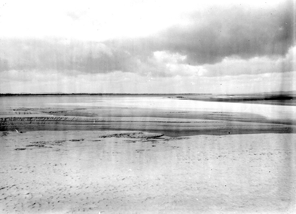
| Caption: | Sand-bank on edge of Skinburness Marsh, at point 1 1/2 m. E. of Skinburness Vvillage. Looking NW. |
| Description: | Sand-bank on edge of Skinburness Marsh, at point 1 1/2 m. E. of Skinburness Vvillage. Looking NW. Present tidal flat of laminated sandy mud. The raised beach spit of Brune Point in the background. |
| Date taken: | Tue Aug 01 00:00:00 BST 1922 |
| Photographer: | Rhodes, J. |
| Copyright statement: | Crown |
| X longitude/easting: | 315500 |
| Y latitude/northing: | 555500 |
| Coordinate reference system, ESPG code: | 27700 (OSGB 1936 / British National Grid) |
| Orientation: | Landscape |
| Size: | 178.01 KB; 1000 x 722 pixels; 85 x 61 mm (print at 300 DPI); 265 x 191 mm (screen at 96 DPI); |
| Average Rating: | Not yet rated |
| Categories: | Unsorted Images, Geoscience subjects/ Landforms, marine/ Coastal deposition, sand-bars, shingle-ridges, storm-beaches, Geoscience subjects/ Landforms, marine/ Wave-cut platforms, reefs and foreshores |
Loading...
Loading...
Reviews
There is currently no feedback